While this hike sounds a bit daunting, it’s well worth the slog to the foot of the glacier.
At a glance:
- Trailhead: Starts at Illecillewaet campground, Glacier National Park
- Distance: 13 km out and back
- Elevation gain: 1269 metre gain
- Trail conditions: Moderate for the first 2 km, then steep switchbacks all the way to the glacier
- Accessibility: Narrow trail with steep drop offs along side
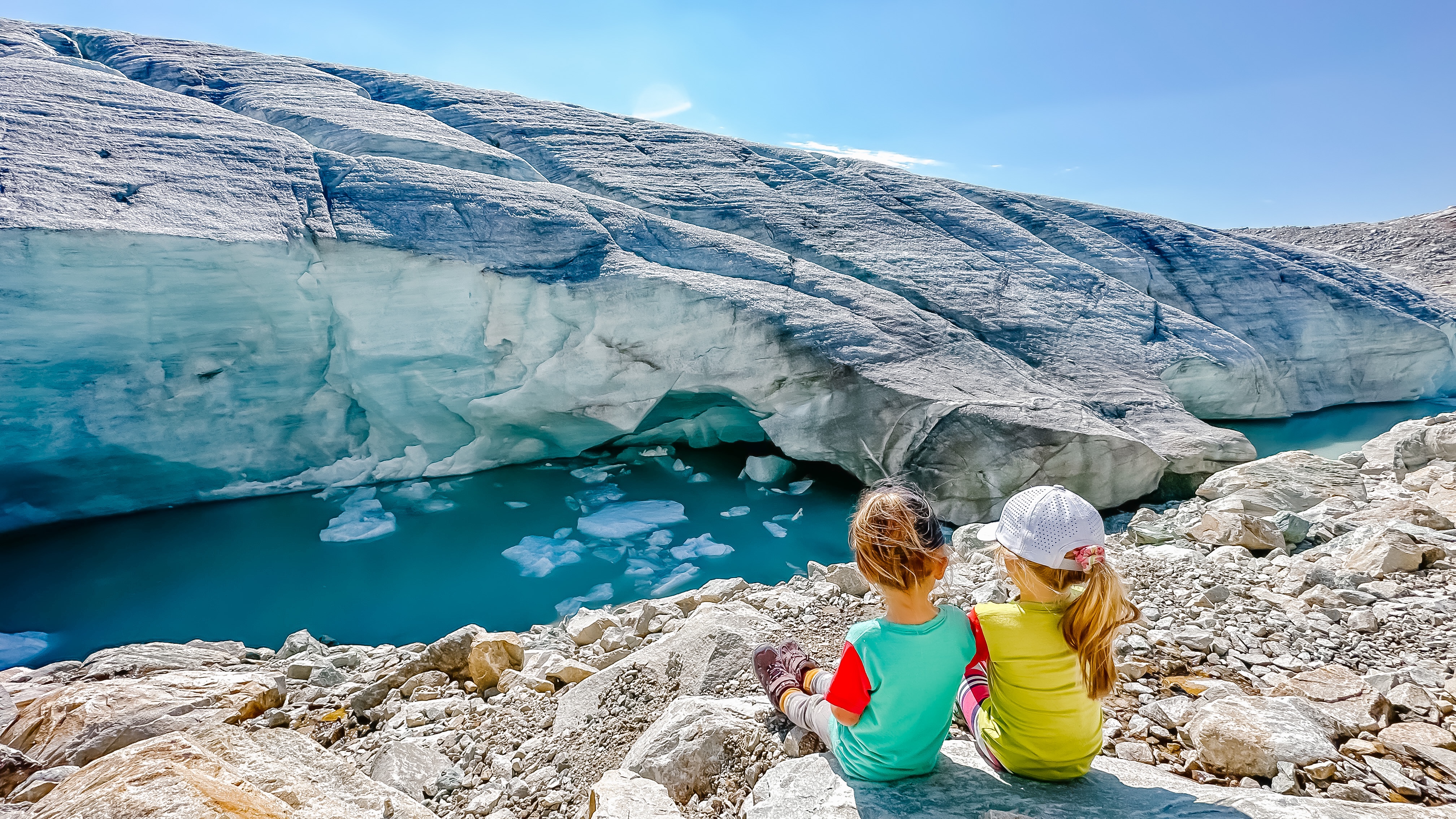
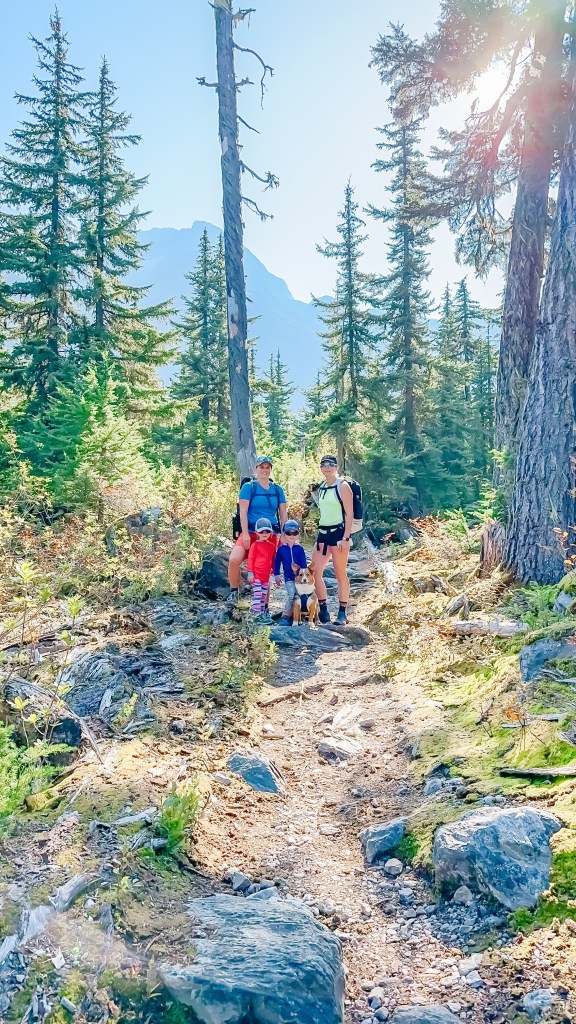
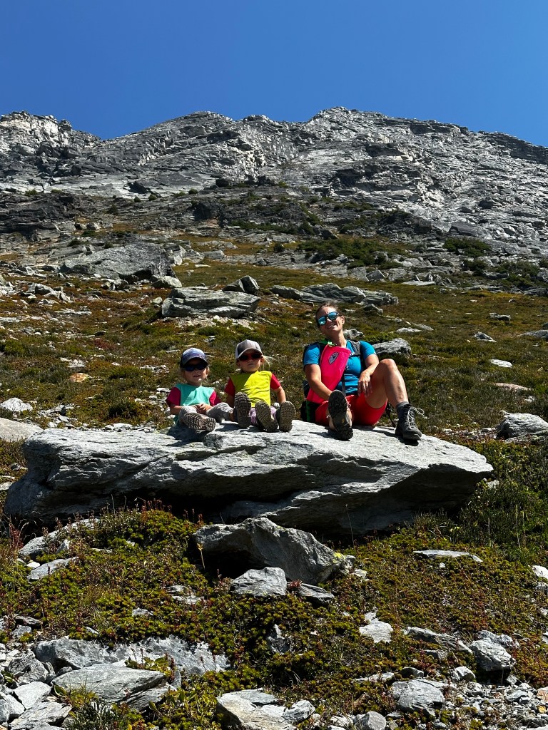
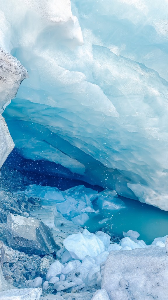
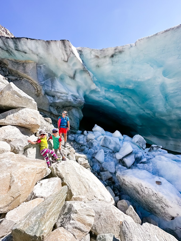
I have been eyeing this hike for years. I’ve heard if you time it just right you can access the cave at the glacier even. Obviously this is not recommended as the glacier is forever changing and it’s really not worth the risk of something happening to you. I did find the perfect weather opportunity to do this hike however there was just one more snag, Tyson was working out of town which would mean me taking our 5-year-old girls solo. With the amount of elevation gain not to mention the distance, I didn’t feel confident taking the girls alone, so I recruited my friend Heather who is always up for anything. Little did she really know just what she was getting into.
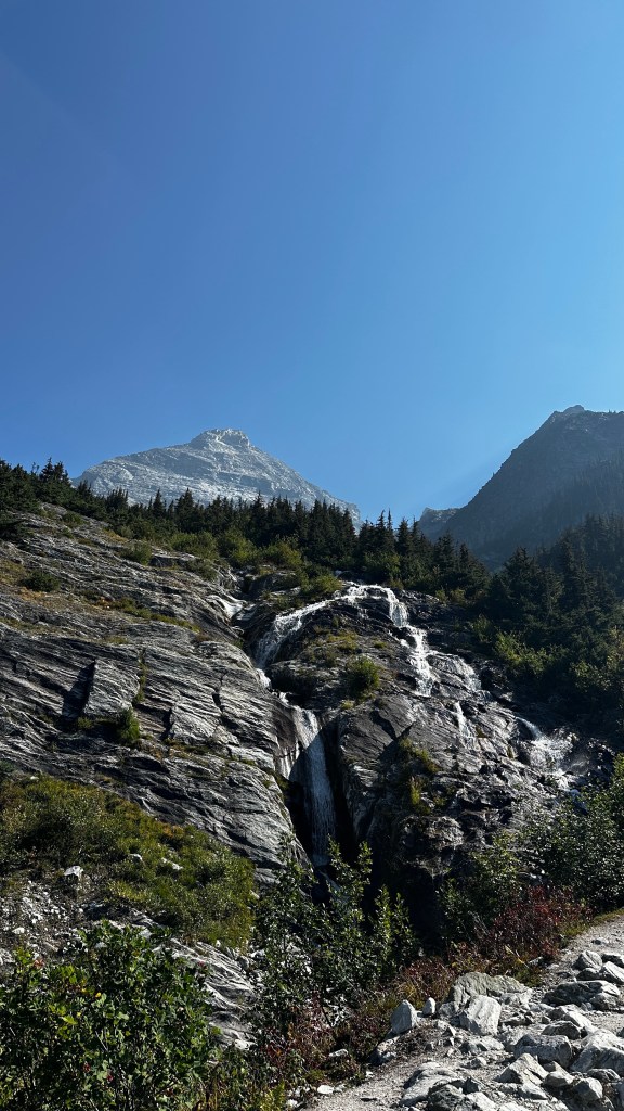
This hike is not for the faint of heart. This is a slog. But, the natural beauty that lines this entire trail is something to be seen. You will even find yourself hiking a ridge with waterfalls on either side at one point.
If you want to bring young kids, be prepared to carry them when they decide they can’t hike any longer. If you have strong little hikers then this hike is for them. It has so many rewarding spots along the way to keep kids interested; from little bridges to waterfalls to boulder fields to the glacier, it’s got it all.
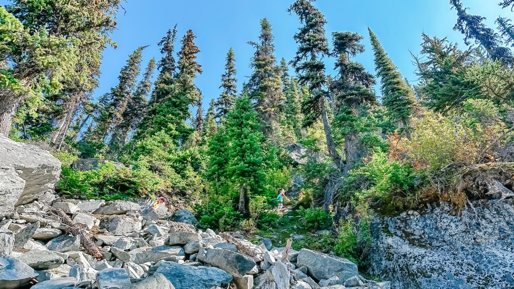
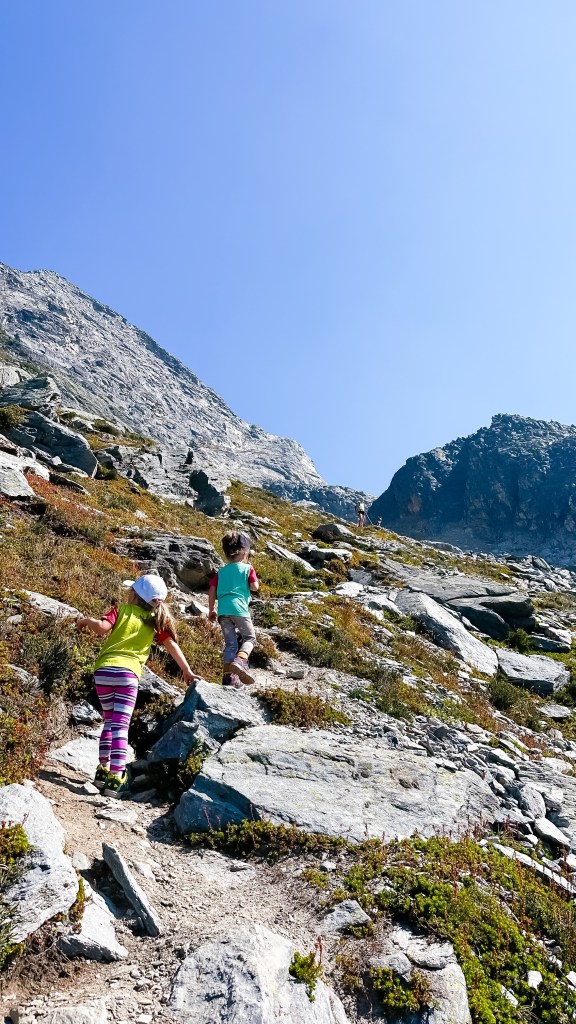
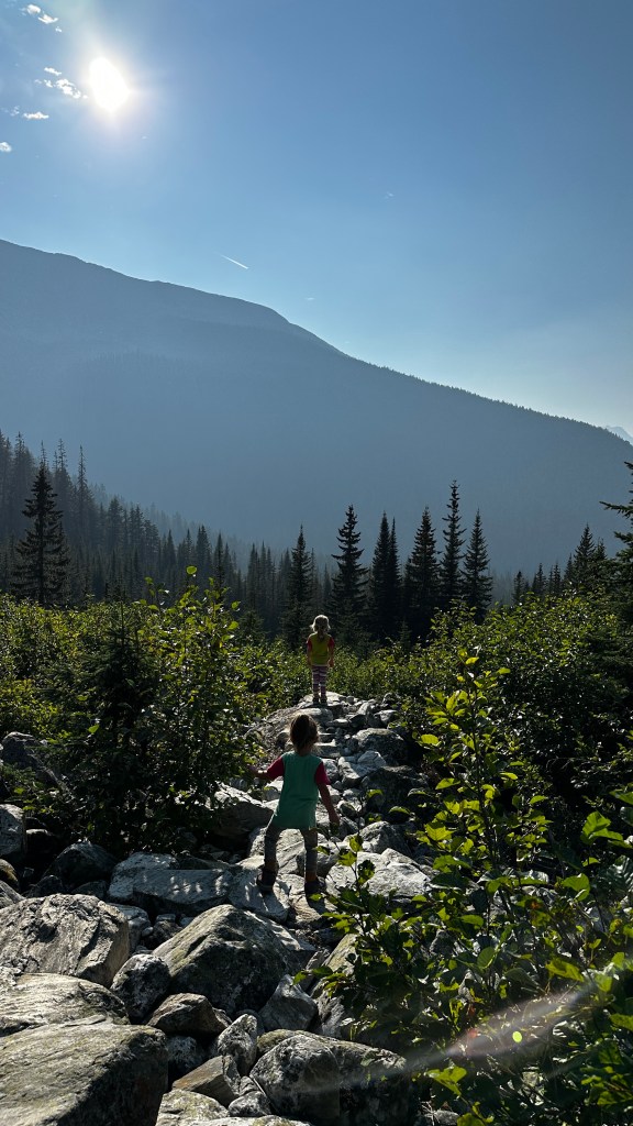
While this hike starts off meandering through the forest for 2 kms, it quickly starts climbing the mountain with many switchbacks. There are so many stunning views that you are somewhat distracted by all the surroundings.

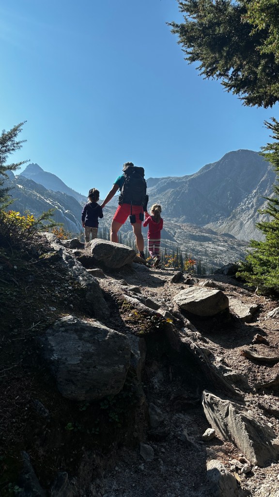
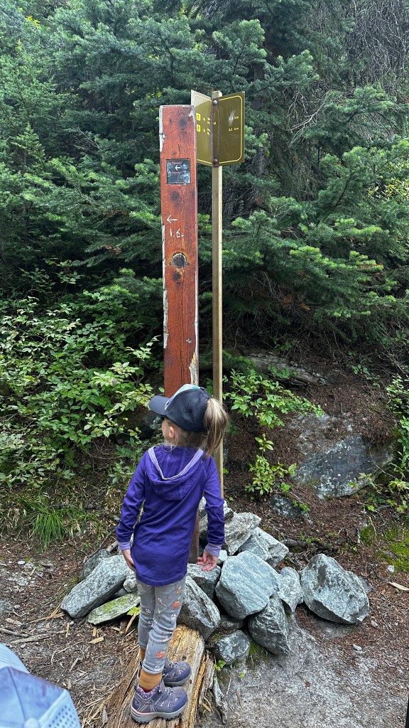
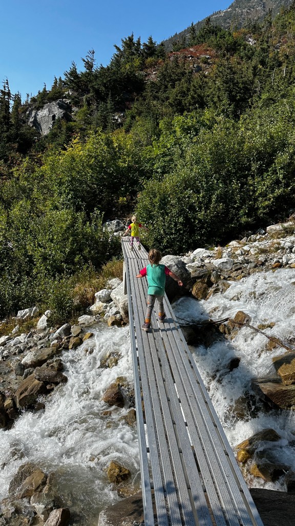
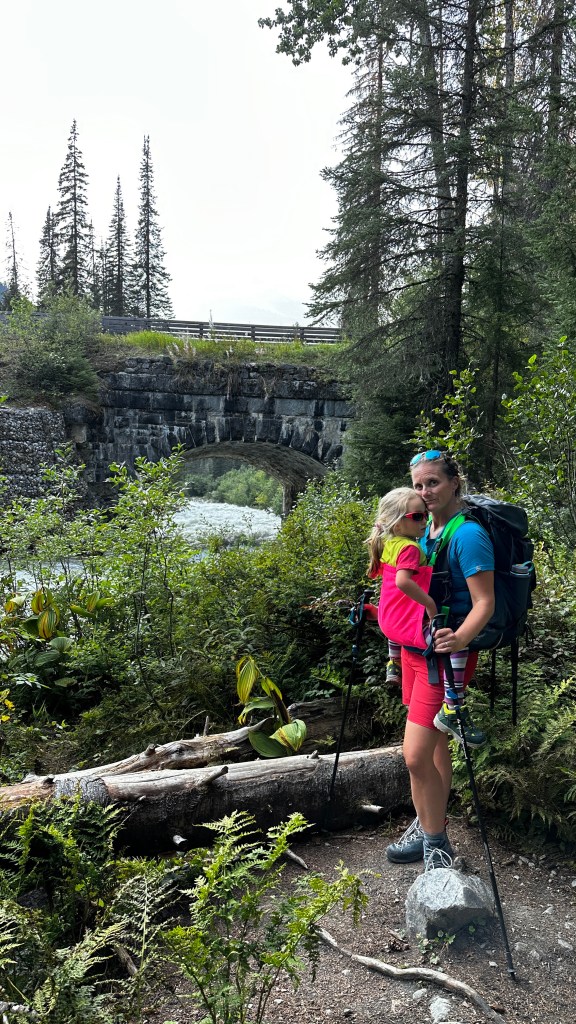
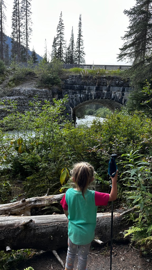
You will cross one more final bridge, with Sir Donald in the background and that’s when the major elevation climb starts. Shortly after this crossing is a sign where to the right is Perley Rock 3.2 kms ahead, to the left Sir Donald 0.8 km. If you are really starting to feel the hike at this point, I would suggest heading to Sir Donald instead. If you are feeling tip top then continue on to the right.
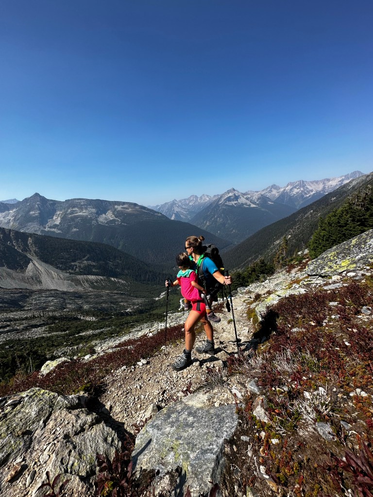
The remainder of this hike is very exposed so prepare for all weather conditions as things can quickly change in the mountains.
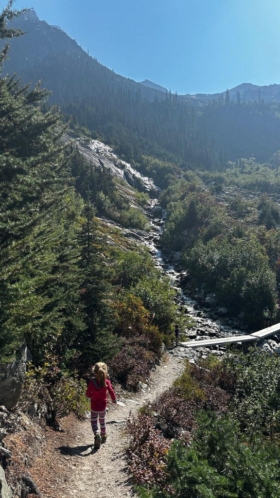
💦 Water accessibility on the trail: For the first 3 kms there are streams and creeks to refill your water, and past that there is nothing until you reach the height of the trail. The last water refill is just prior to the sign (pictured above) until the top. At the top there is a beautiful waterfall which we refilled at. *Always treat your drinking water prior to consuming*
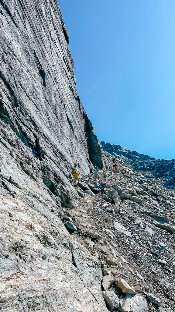
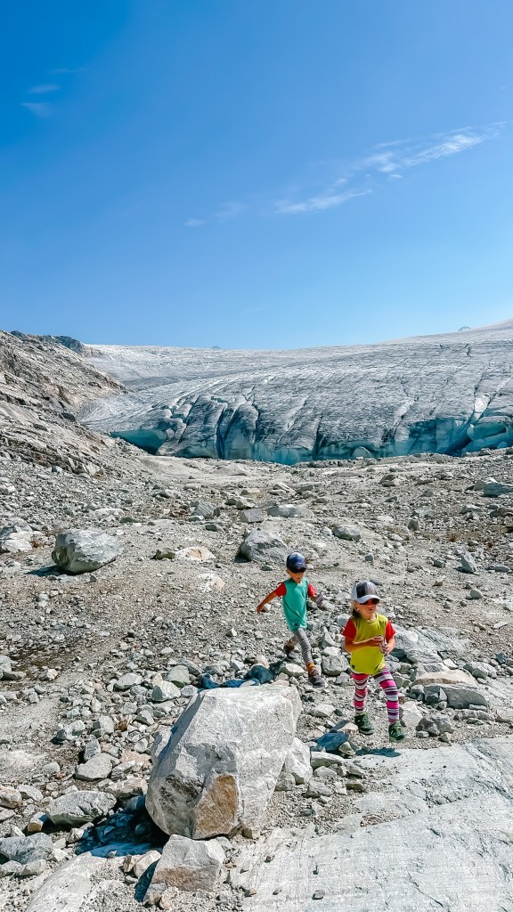
We decided to take a break around the 5 km mark where we found a flat rock to relax and take in the views of multiple cascading waterfalls and mountain peaks while also having a bite to eat. Once we were refuelled we made the final push up a few more switchbacks and then hit the rocky, somewhat slippery, narrow trail along side the mountain. We then crossed another small boulder field where it popped out into the bowl where the Illecillewaet Glacier lay.
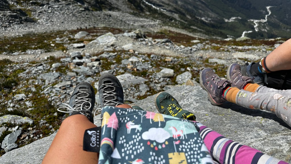
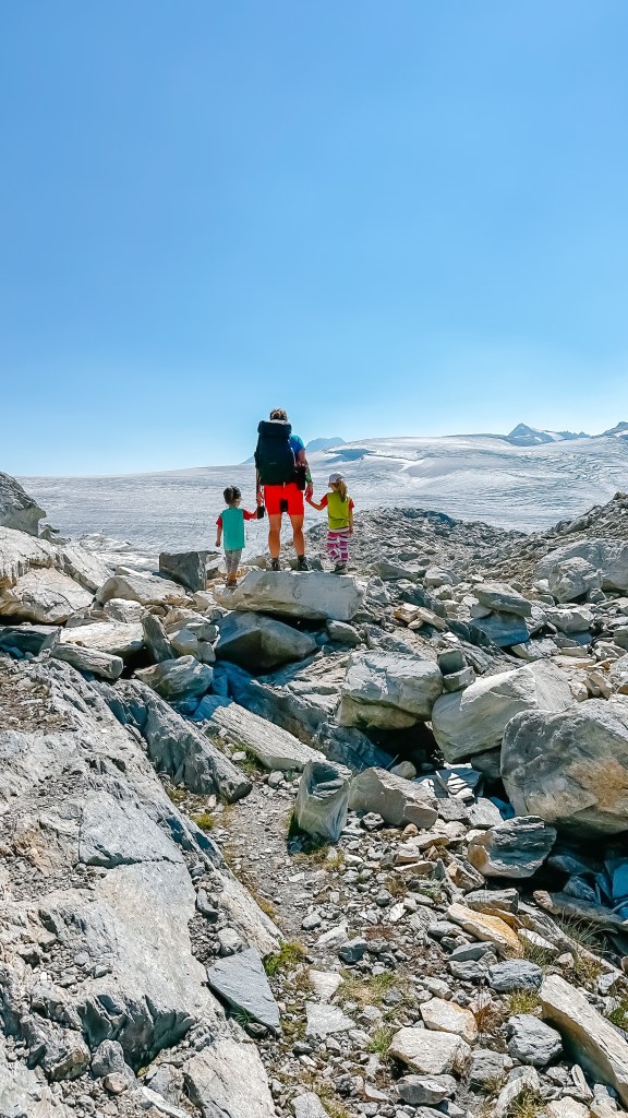
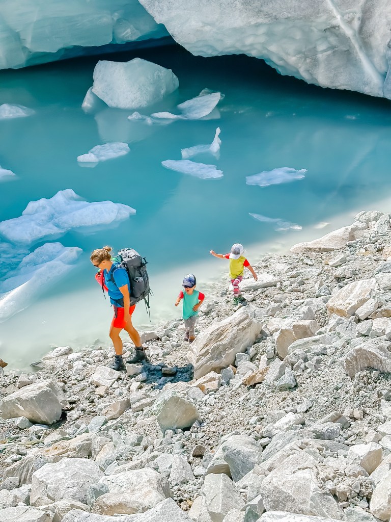
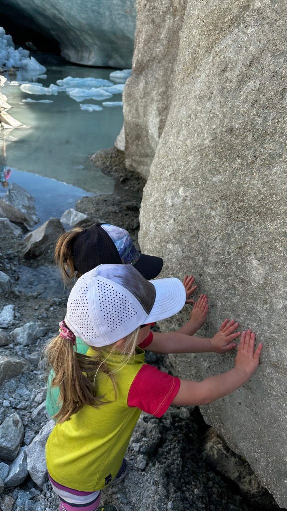
We all stopped in awe at the incredible sight and then pushed on to the awaiting glacier. We explored around for about an hour, relaxing along side the small lake the melting glacier had created and girls collected rocks and played with the glacier silt. We refilled our water bottles and then it came time to head back.

We then pushed on for the remaining 6 kms of steep downhill. This is where the real challenge came. By now we were all tired and just wished we could be back at the trailhead. We were all starting to feel it in our legs and feet. One of the girls started really expressing her feet hurt, mainly her toes, and while my knee had started to bother me I didn’t feel I was in a position to start carrying her. We slowly pushed on while we welcomed the beautiful distractions of waterfalls and crossing bridges. The girls were champs and even though they each had a small fall or two going down, they still managed to laugh it off and push on. 200 metres from the end, one of the girls just crumpled into a ball on the trail and expressed she was done, couldn’t hike another step because of her feet. I then pulled out the Trail Magik, popped her in and carried her the remainder. Once we were back at our campsite we all pulled our boots off and indeed it displayed her boots were too small for a l the downhill punishment.
Our girls completed this hike at just five years old, with needing to be carried a total of just under one kilometre, and this was mostly due to one of the girls’ hiking boots being too small resulting in serious toe bashing on the descent. That took us eight hours in total with four hours up, one hour at the top, and three hours down.
This hike is for advanced hikers, not one you would try as a beginner hike, especially with kids who are not strong hikers. If your kids can hike with good elevation gain then this is for them. It has all the rewards packed in along the way.

Monkey's Tale
I’ve never done this hike, and actually haven’t been to Glacier in the summer for a long time. The scenery is beautiful. We ski from Illecillewaet but it looks completely different. Maggie
LikeLike
restlesscrusade
Glacier is so amazing in the summer! I bet it is equally that in winter too though.
LikeLiked by 1 person