Shannon and I both found ourselves awake at 2:00 in the morning from the rain. Not necessarily onto our tent but rather into our tent. We had sprung a leak. Thankfully though we had brought along a 8’X10′ tarp and devised a plan to use it. We draped it over the tent and anchored it to the ground in a few spots. That should be enough to get us through until morning and best yet, the two girls never even budged. When the sun was coming up the rain was still coming down. I hatched another plan and simply use some rope to raise the tarp straight up over the tent so we could cook some breakfast, have a place to eat and pack our bags in a dry environment. The second problem we encountered was that so many others had placed their tents in this exact same spot over the years that it was acting like a giant basin and collecting all the water. Our space was even more isolated. Thankfully though we were doing better than some of the other hikers who we saw draining the rain out from inside their tent and ringing out their sleeping bags.
If you missed the previous section of the trail, click here to get yourself caught up.


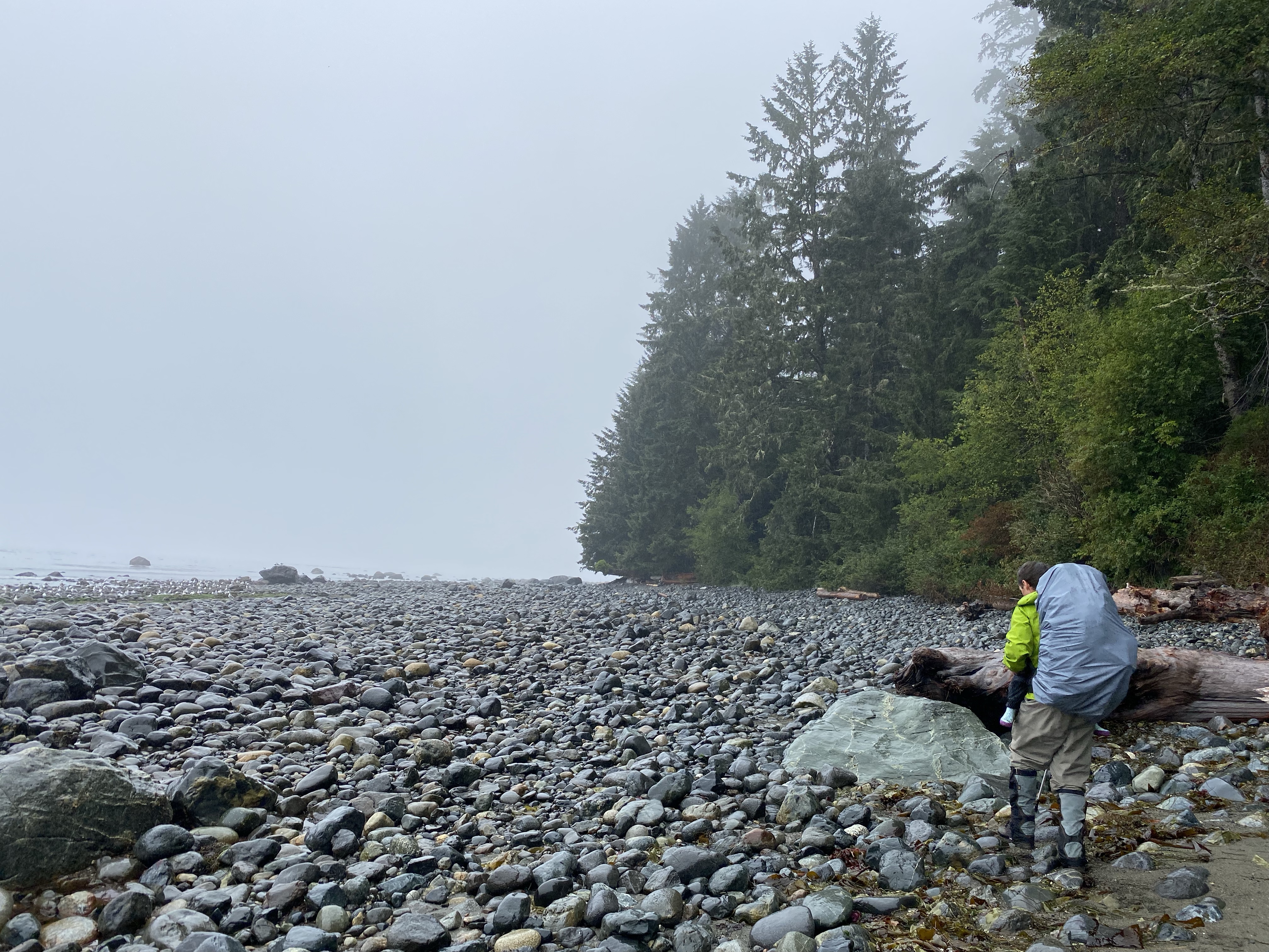
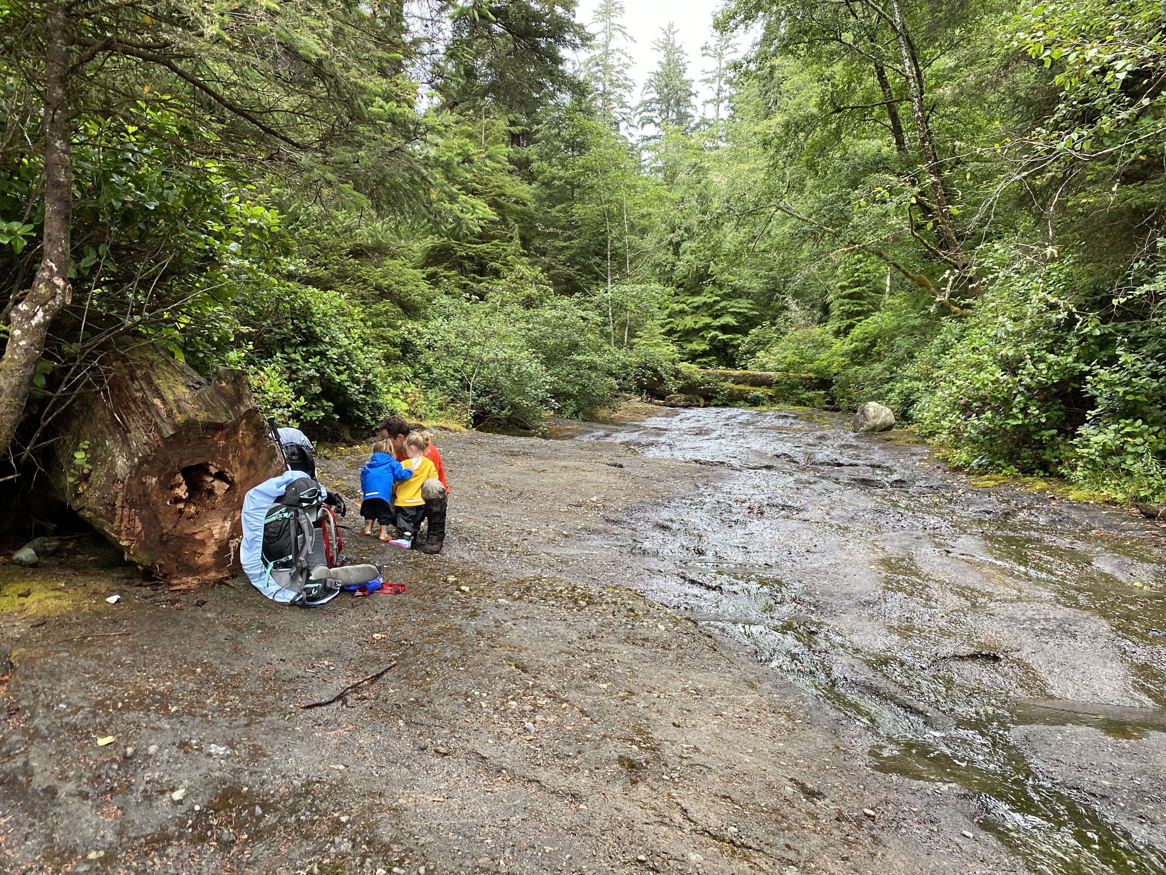
Once packed up we were ready for a day of hiking. We were running about 30 minutes behind our friends at this point and keen to get to Chin Beach for the night. This section of the trail was said to be the most difficult of the thru-hike but we could never really have a straight answer why. As we walked the first 300m down the beach with full rain gear on we came across a local that mentioned a low tide beach cut that would save us about one kilometre of hiking and avoiding multiple hill climbs. Unfortunately though we were about 30 minutes too late, so into the bush we headed.


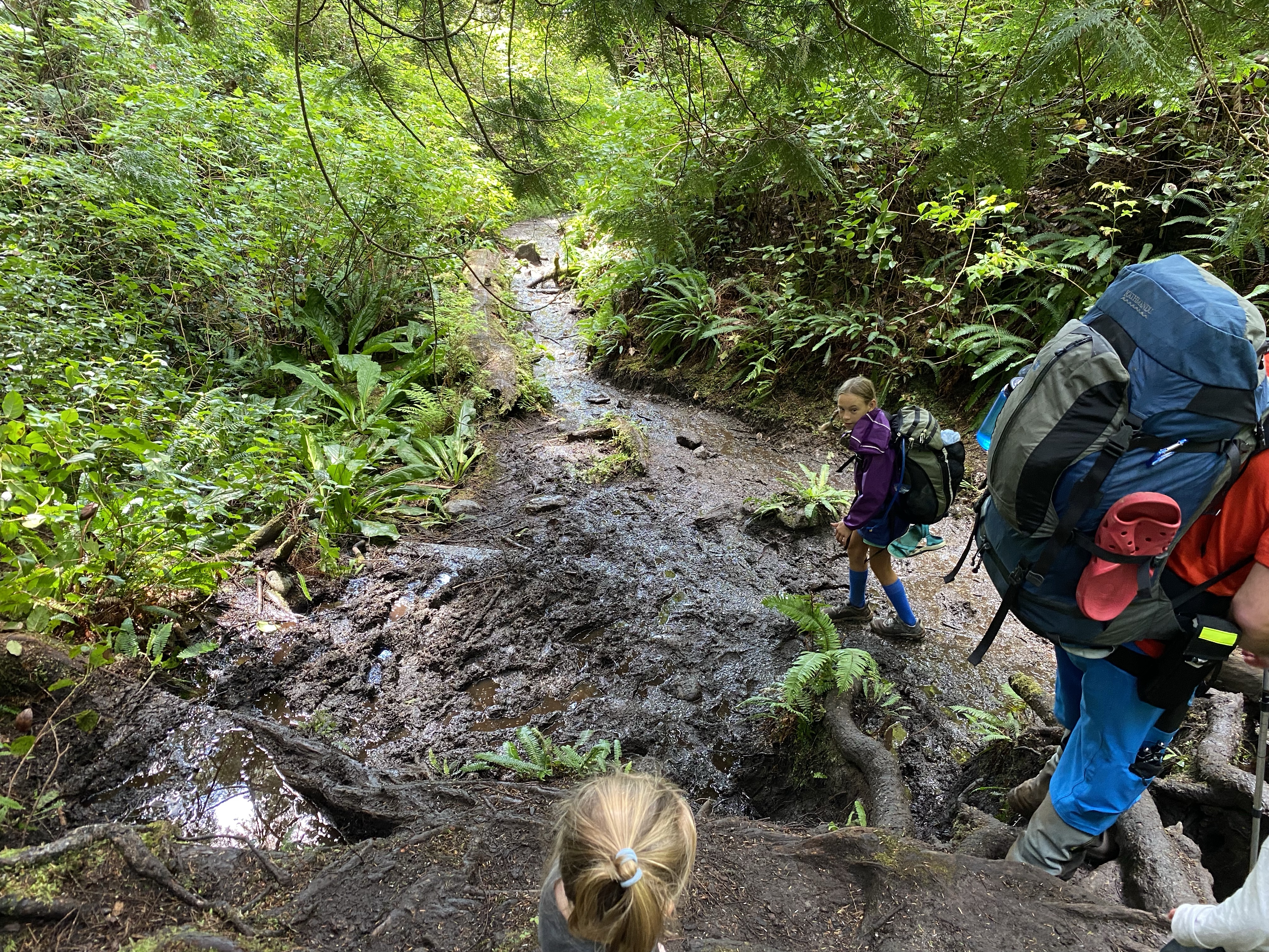
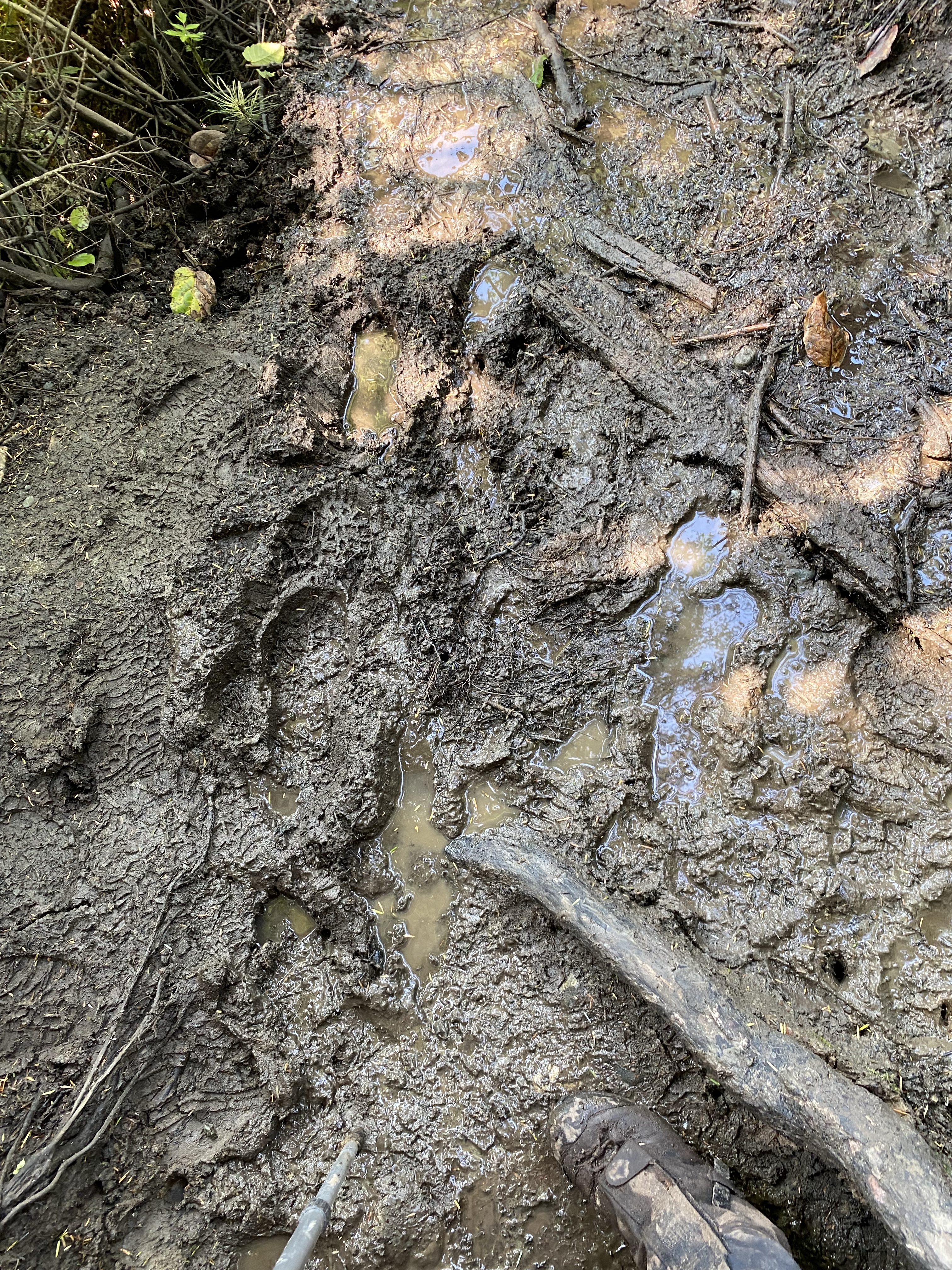
The first 30 meters off the beach was a dramatically steep mud and root climb. There was huge 4′ steps that had us crawling up as the girls on our fronts were only inches away from the ground. After 20 minutes of following some orange ribbons we were completely soaked, mud to our knees and not all that impressed. Even the girls were asking if we could go back to the truck. The trail got progressively worse the further we got. Our boots were sticking into the mud and Shannon and Lidija even took a spill over backwards as she could not move your feet for balance due to the suction of the slop. If this was going to be the trail we were going to be in trouble! We eventually clawed our way to what looked like a sheer drop down to a creek bed with no way across. We noticed a couple other paths but they took us no where. After 40 minutes we decided to double back the way we came and regroup at the beach. We had now spent an hour thrashing around in the rainforest and were only a casual stroll away from where we slept that night. Worse yet, it was 12:00 noon, we still had 12 kilometres of hiking and it was estimated to take anywhere from 7-10 hours. Yikes.
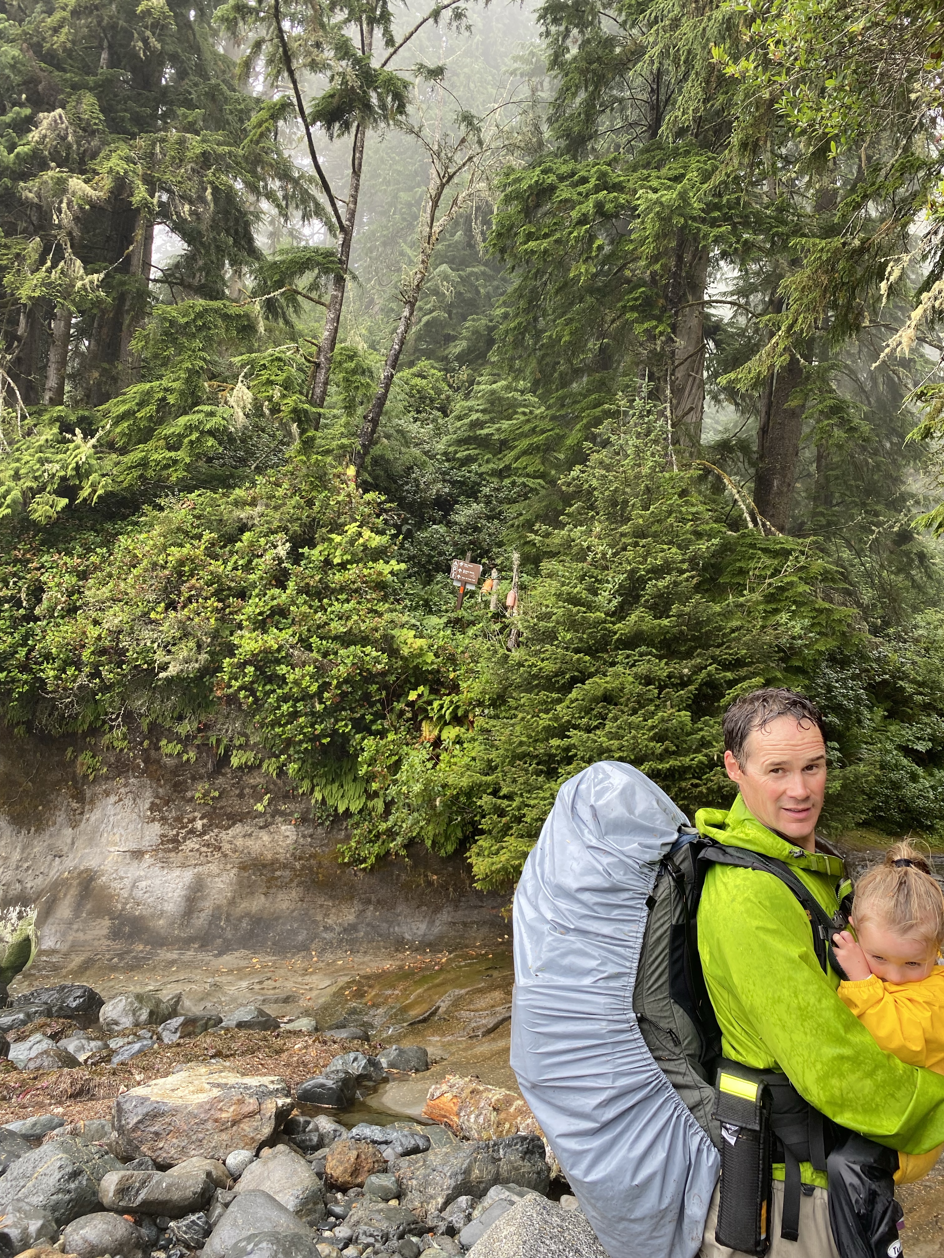
Another hiker was in the area so we asked for some directions. He took us to the actual trail head. It was a further 25 meters around the corner and clearly marked with a sign and some orange bouys indicating the direction. It was time to get moving. We started off making some ground and elevation. We soon came across a pleasantly built wooden bridge that takes you over a creek bed that we must have been looking down on earlier.


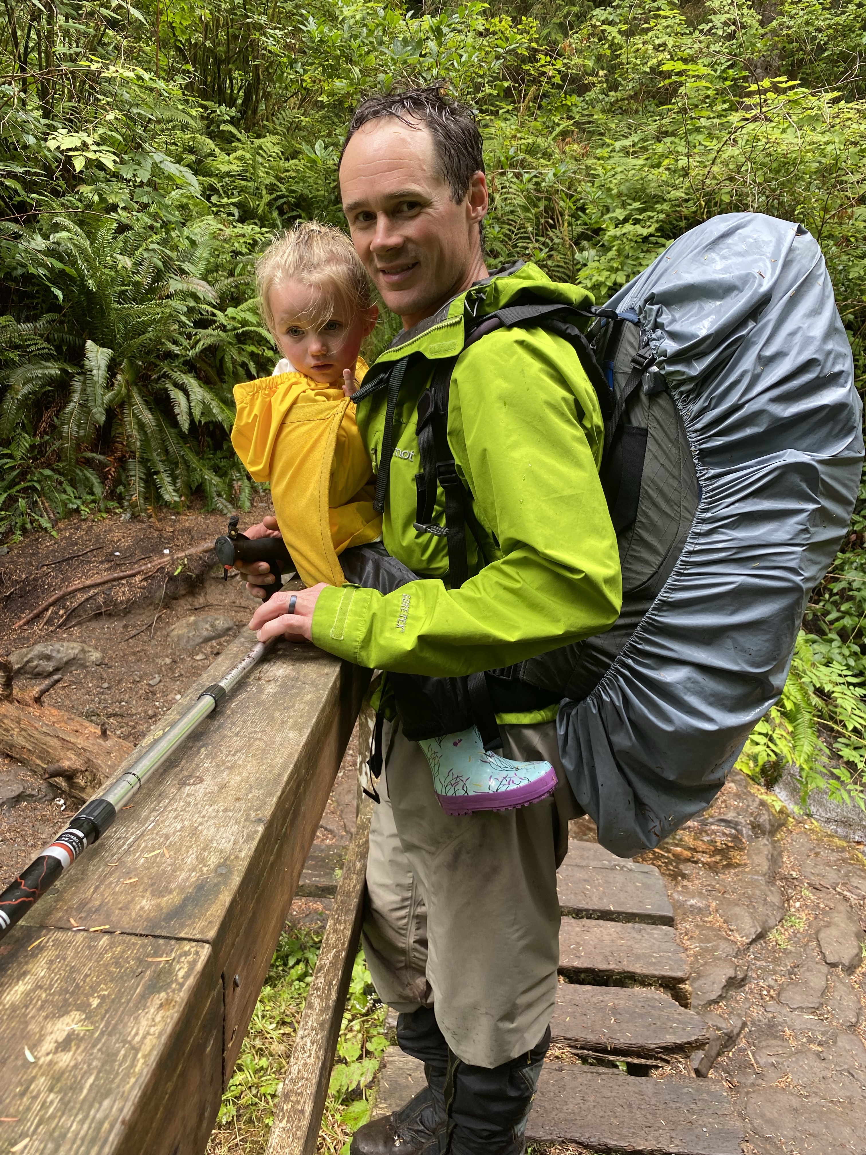
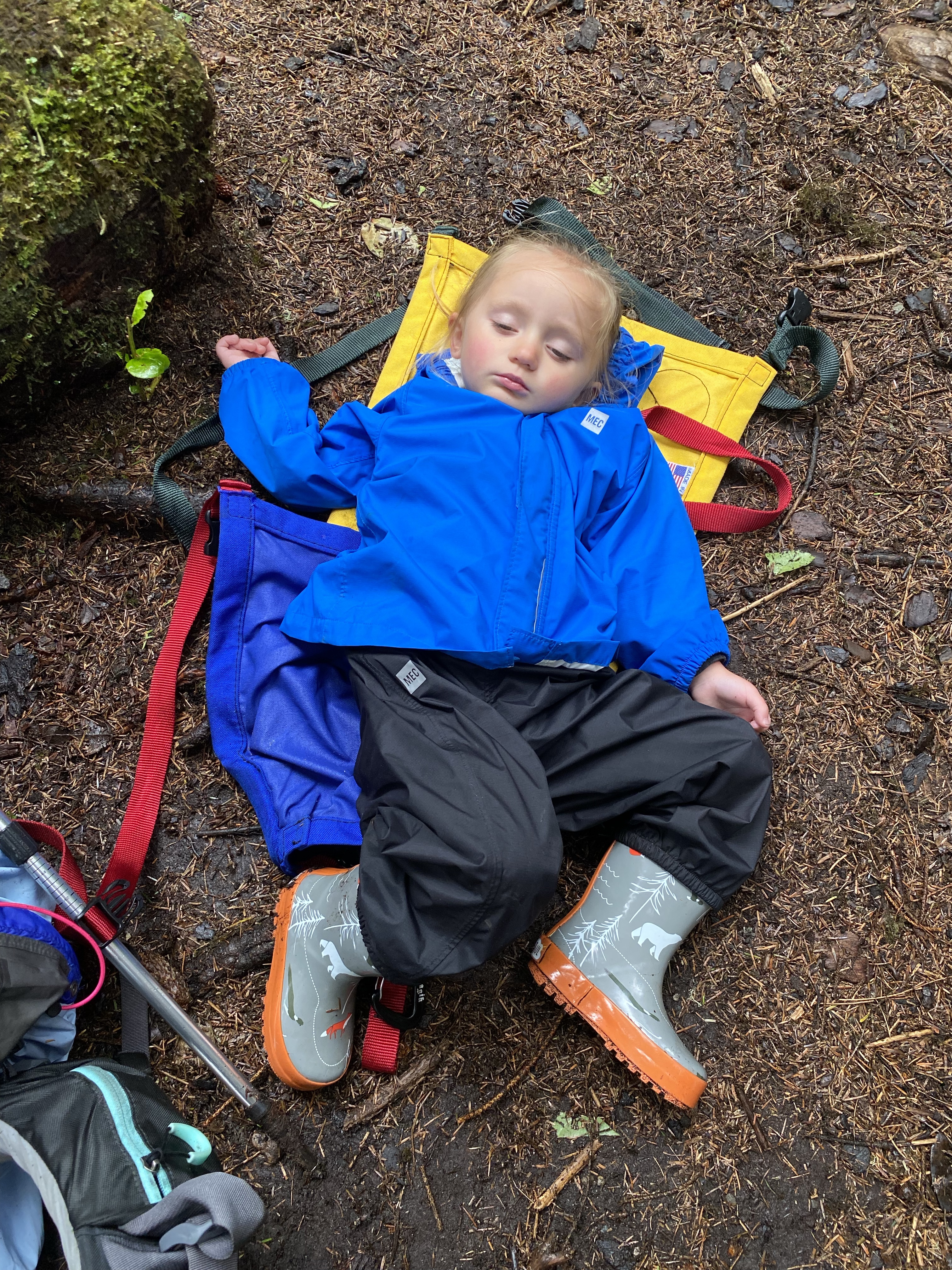
Onwards we pushed. Up and down through the mud and rain soaked foliage. The roots were seemingly grabbing at your ankles in the instant we lifted our eyes off the ground. By 2:00 the rain had diminished, our jackets were off and we were just as wet with sweat. The humidity in the rainforest was relentless. The weather was not hot, low 20’s I would guess, but it still takes its toll on you. By 3:00 or so we were at the 15km marker and were exhausted. We took our packs off and sat down on a log for a while. We didn’t do a very good job with putting calories into our bodies and the lack of energy was zapping our strength. We did our best to eat some food and hydrate as much as possible. Lidija was fast asleep in the Trail Magik carrier while hiking and Shannon had managed to place her on the ground and let her continue.
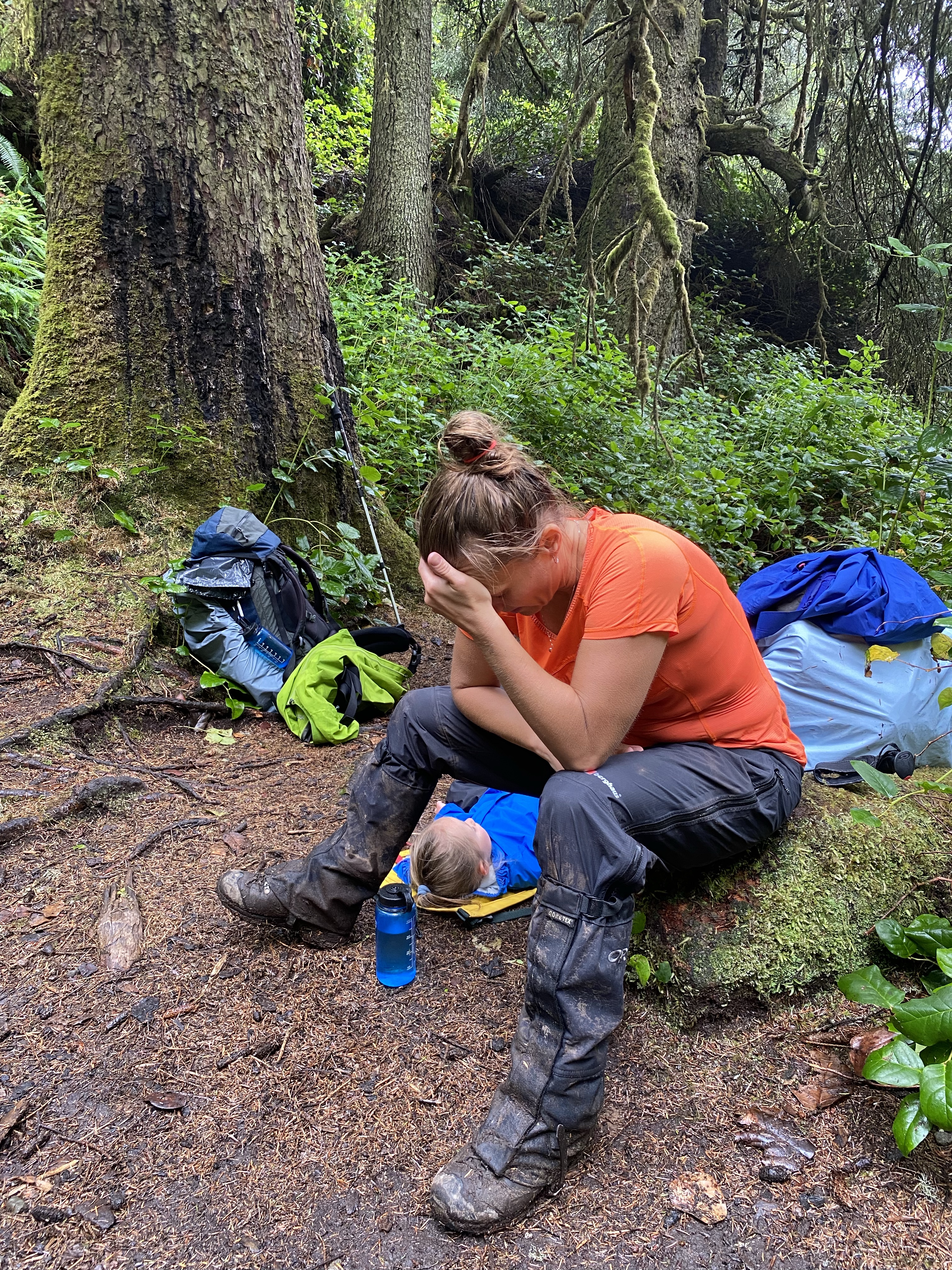
After 30 minutes we were back on our feet and mentally broke the trail down to 1 km milestones. With slippery mud, broken wooden structures and exaggerated natural steps 1 km had passed. The hills and creek beds continued, up and down. 1 more kilometre complete. The ground was never flat or smooth and the down hill bits seemed slower than the up hill parts. 1 more kilometre. Another mental and physical wall was starting to settle in. Shannon and I kept encouraging each other to push further. Another kilometre. Just like walking from our house to the corner store and back. Another one gone. The weather was starting to cool, the girls were getting agitated and our bodies ached. We wanted nothing more than to relieve the extra 60 lbs off our feet.

Eventually the trail had reached the beach and we could see the others. It was now 7:45.
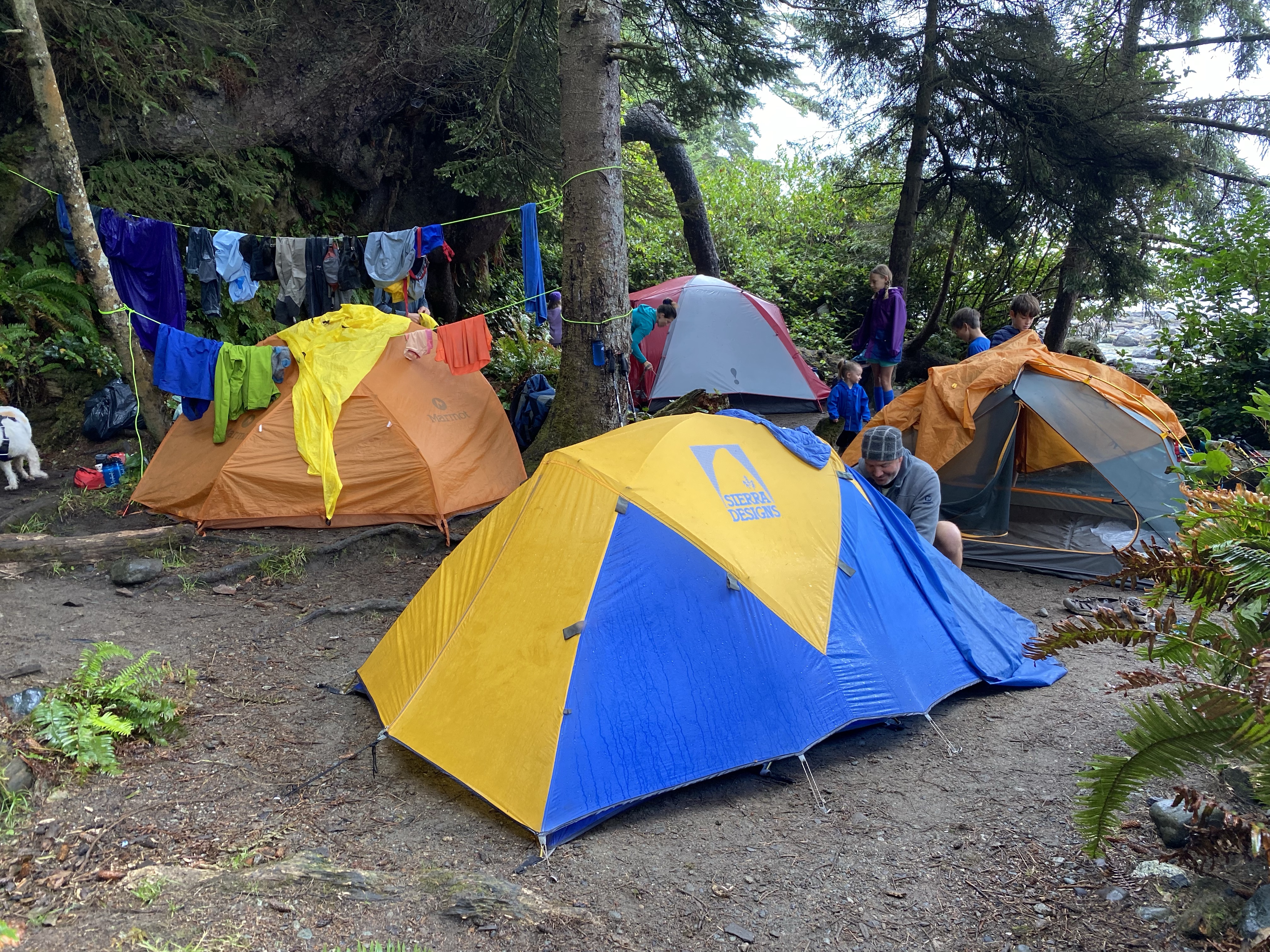
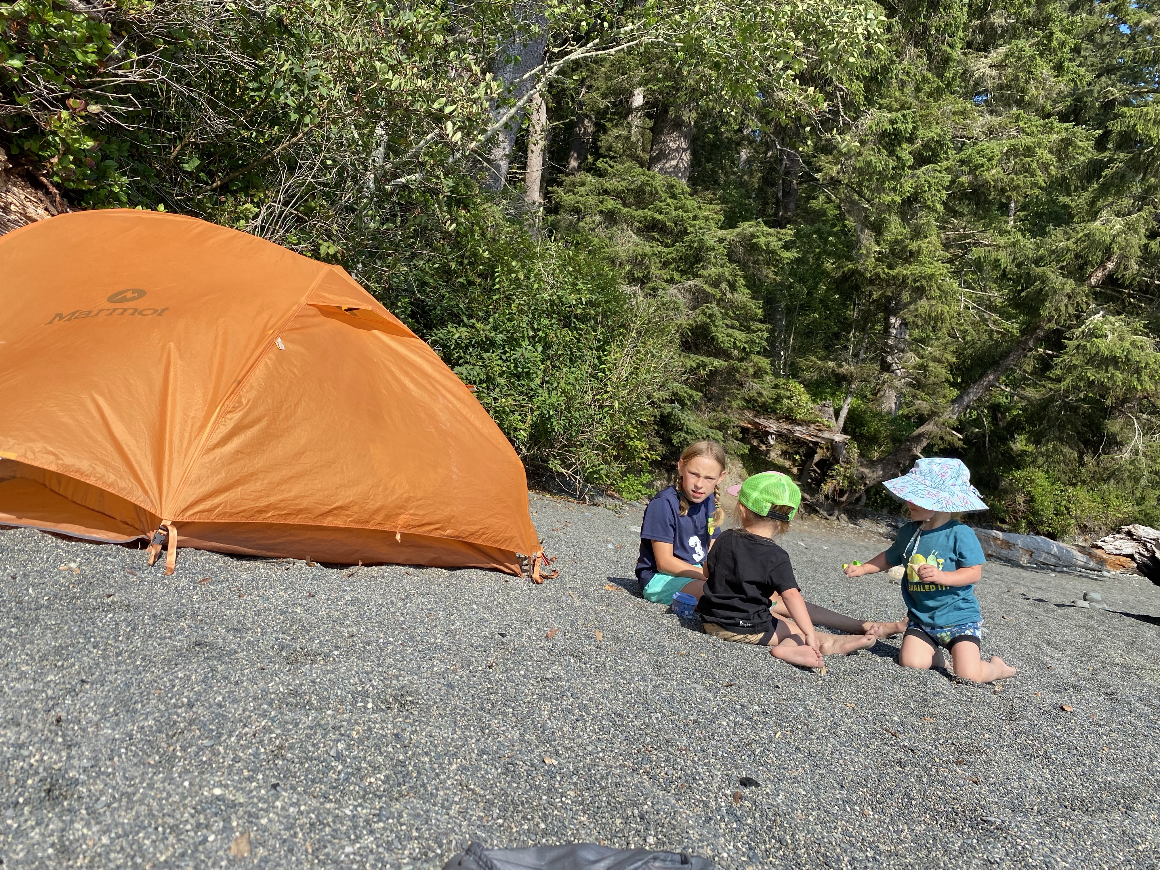
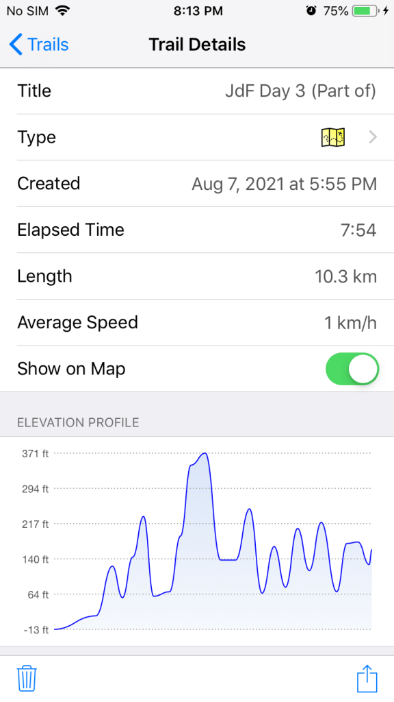
We dropped our bags and thankfully the girls where whirled away with the other kids and we were left to recover. We promptly set up the tent, attached the tarp, hung some clothes to dry, purified water from the nearby creek and started on dinner. After a good feed of dehydrated dinner we had a little bit of time for on the beach before it got dark. The evening fog had settled in again making everything damp and snuffing out any chance of a west coast sunset. Our food was back in the bear cache for the night and we were ready for a sleep. It was a challenging day like everyone had said. Nothing about this section of the trail really jumps out as being the hardest part. It just never ended. You never got a break from the tireless beating that mother nature had lined up for you. As soon as you got to the highest point you quickly had to descend and loose all that elevation you worked so hard for. The trail was beaten and broken and all the technical foot placements were pushing your mental endurance. You never got a chance to just lift your chin, enjoy your surrounds and have a casual conversation while you walked. And just like day two of our KVR bike trip, this was type 2 fun at its finest. My GPS tracker shut down before we made it to the beach but for the day we spent 9.5 hours on the trail (1 hour lost in the bush), hiked 12kms (not including the bush section) from Bear Beach at kilometre marker 9 to Chin Beach at kilometre marker 21 and reached a maximum elevation of around 120m above sea level. The GPS tracked 9 peaks and valleys on the hike and stopped recording with over two kilometres remaining.
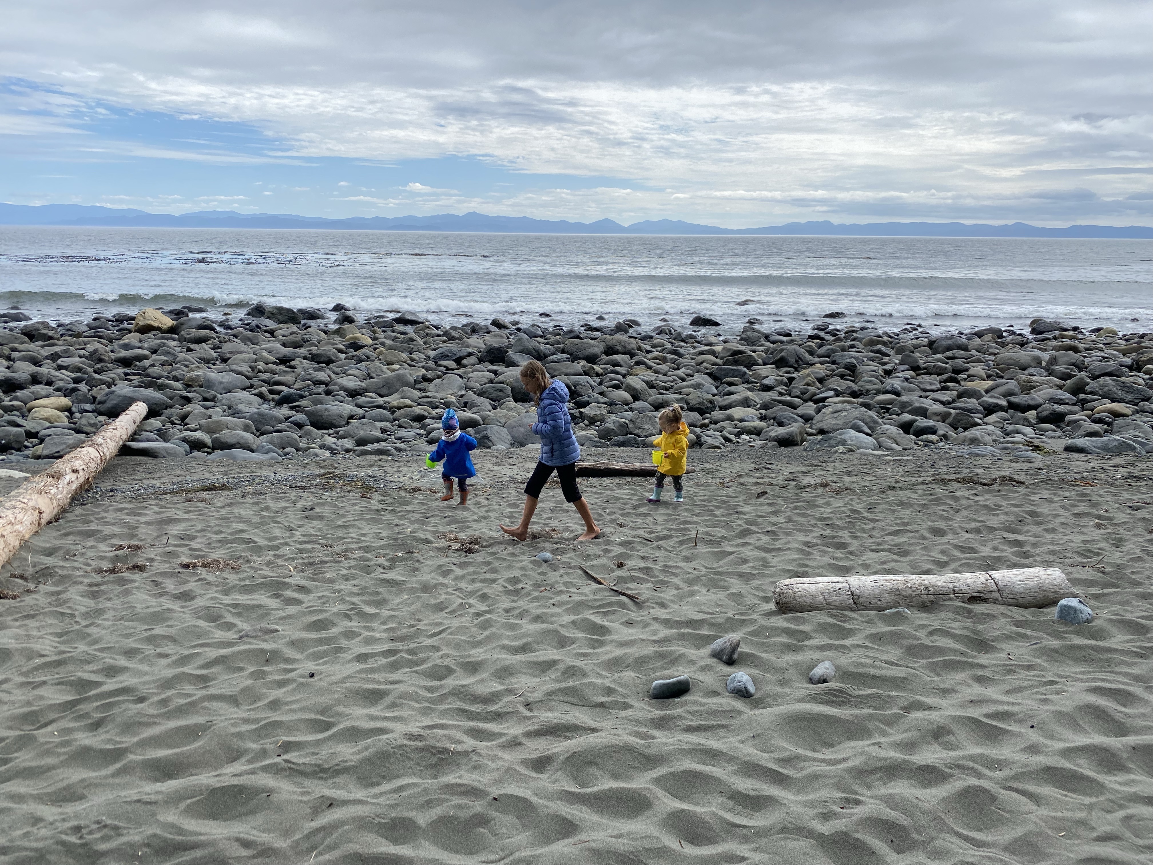
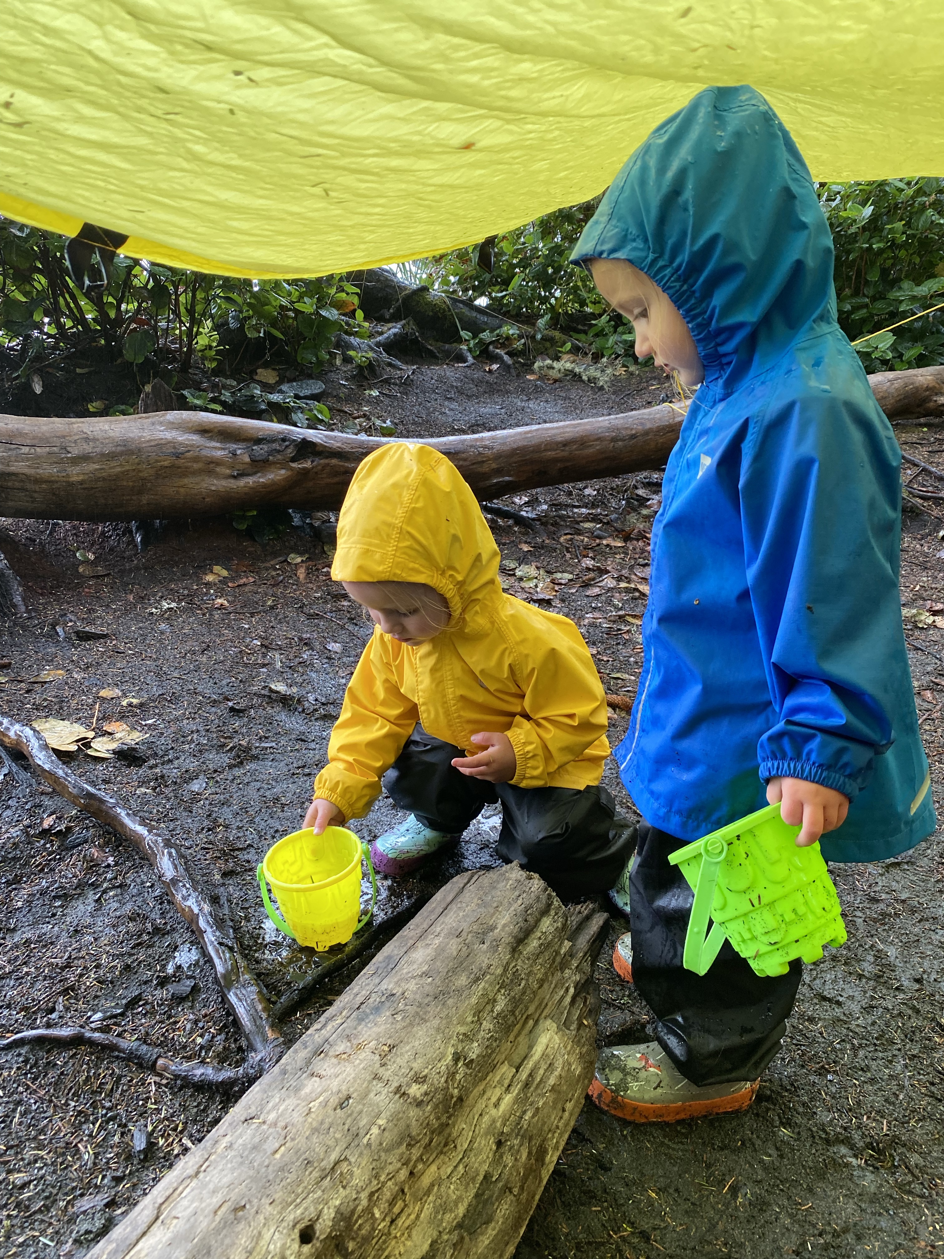
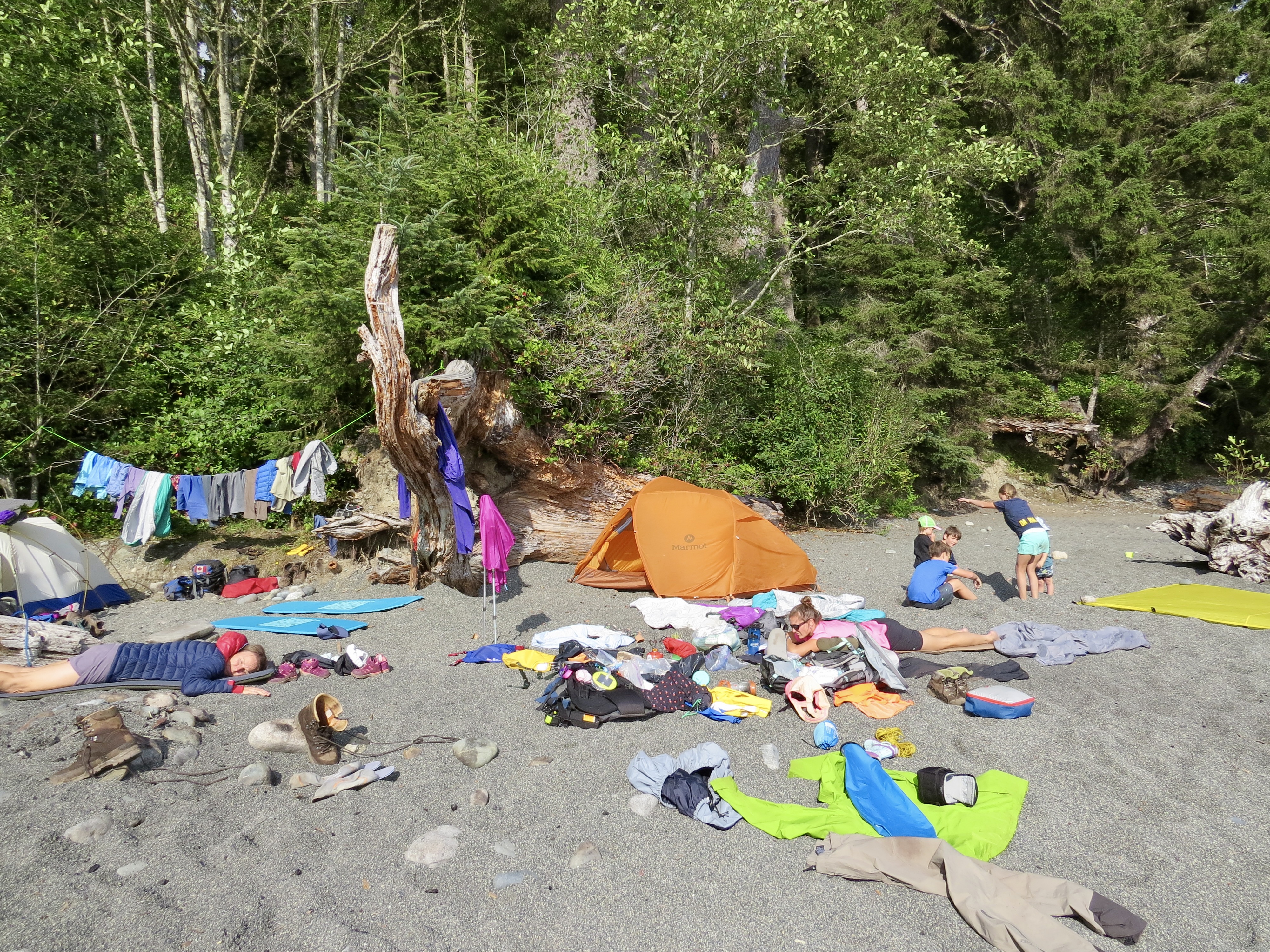
As we woke in the morning it was another start to a new day. The sky was overcast and we had great intentions of heading off early. The kids all played near the ocean together as we heated up some water for the days oatmeal breakfast. Dehydrated peanut butter was revised and spread it on our bagels. After a round of dishes we were ready to start jamming our soaked gear back into our packs.


As expected, nothing dried over night. With the girls tucked away on our fronts we set off down the beach but not all that early.
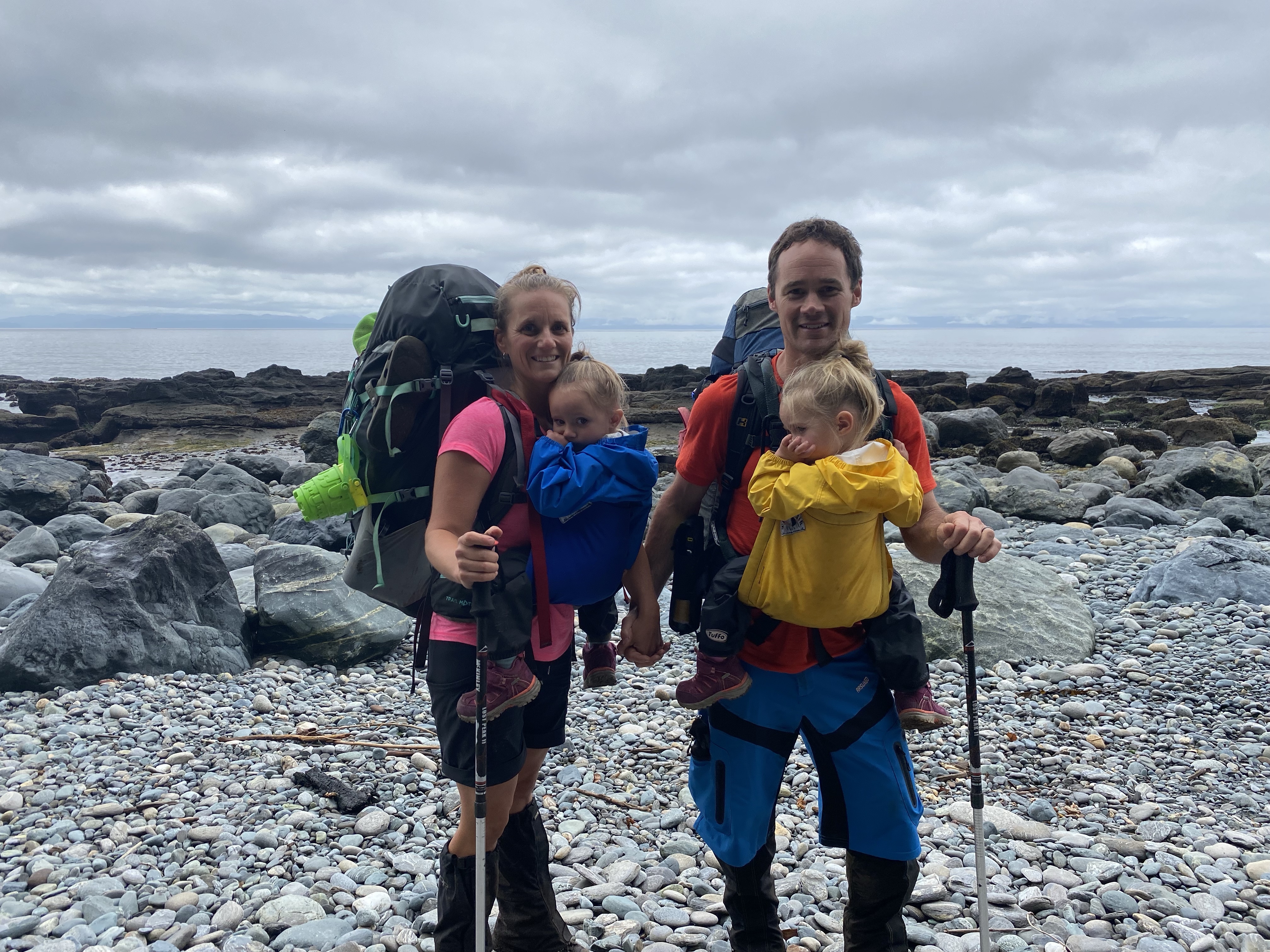


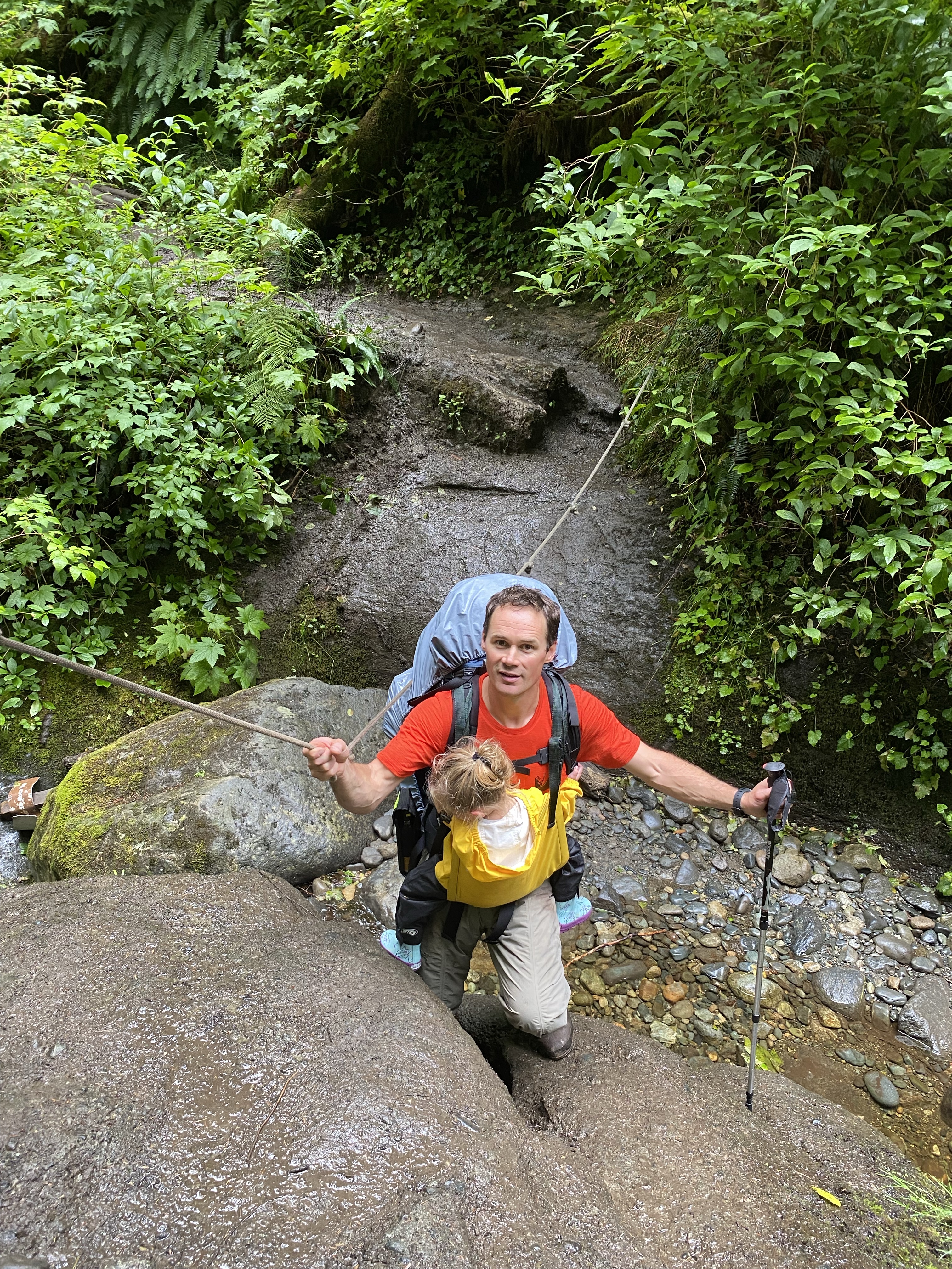
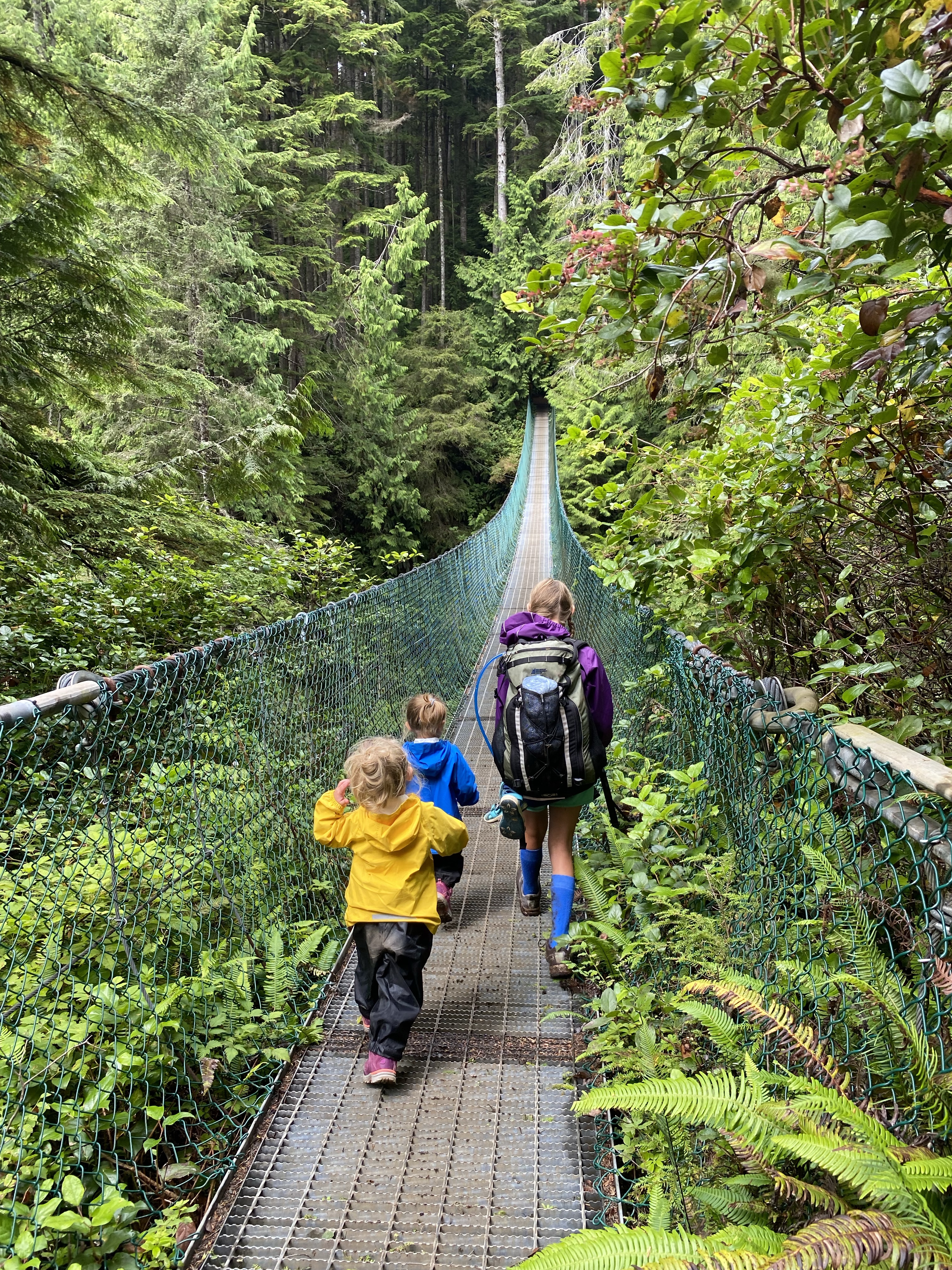
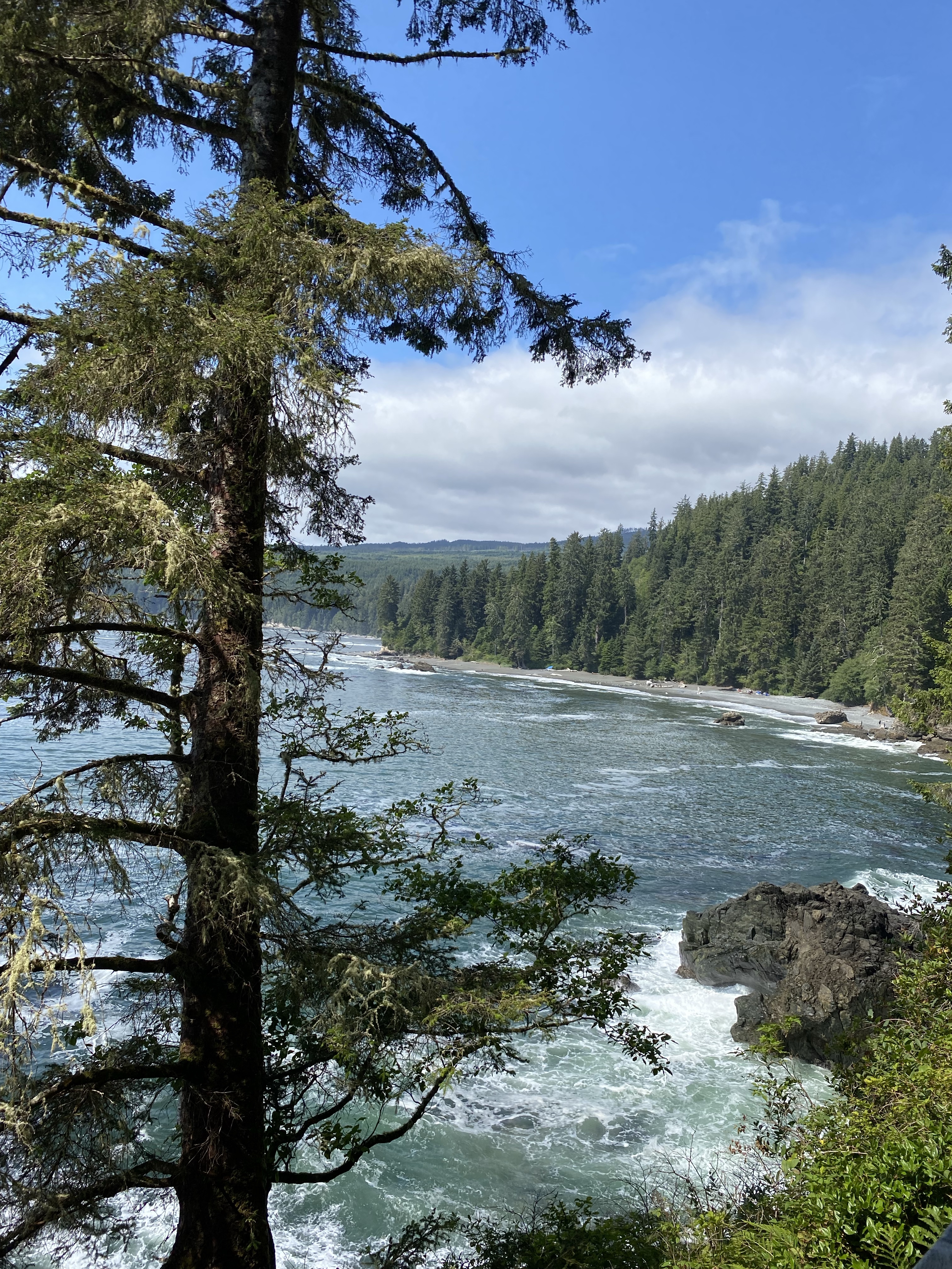
With the tide being high again our beach walk was cut short and inland we headed. With a constant gradual climb we slowly gained elevation. We still had our gators on to keep the mud and debris off our legs and out of our boots. The trail was much more forgiving today and the now blue sky made for better moods all around. We found ourselves stopping more often to enjoy the views both inland and overlooking the ocean. Two kilometres in, just past the 23 kilometre trail marker we came across a second suspension bridge. The girls instantly wanted out to enjoy bouncing high over the creek. The views through the canyon were amazing. Looking up hill you could see waterfalls crashing down to the rocks below, and west you gazed over the ocean as the fresh water meets the salty waves.


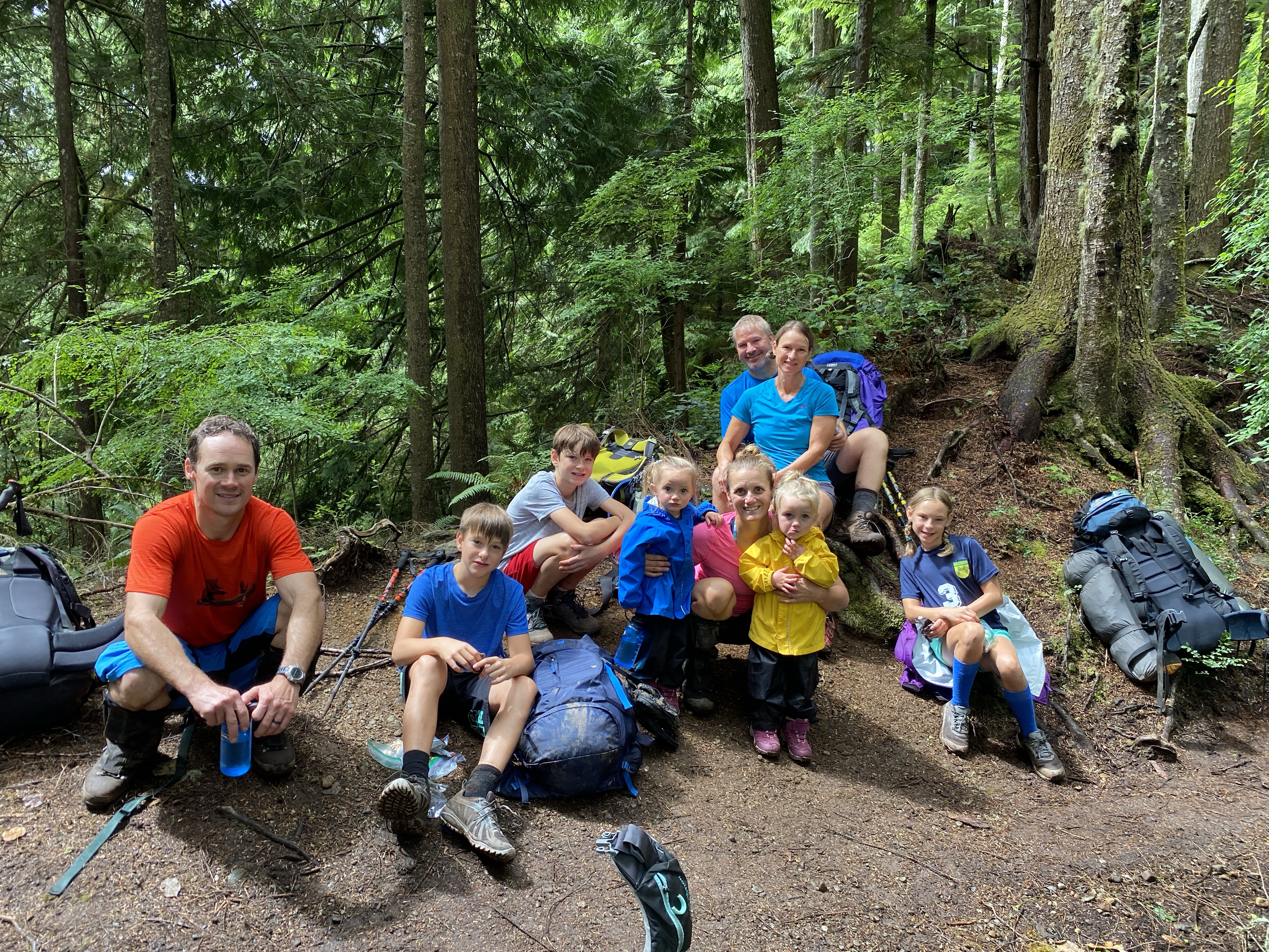
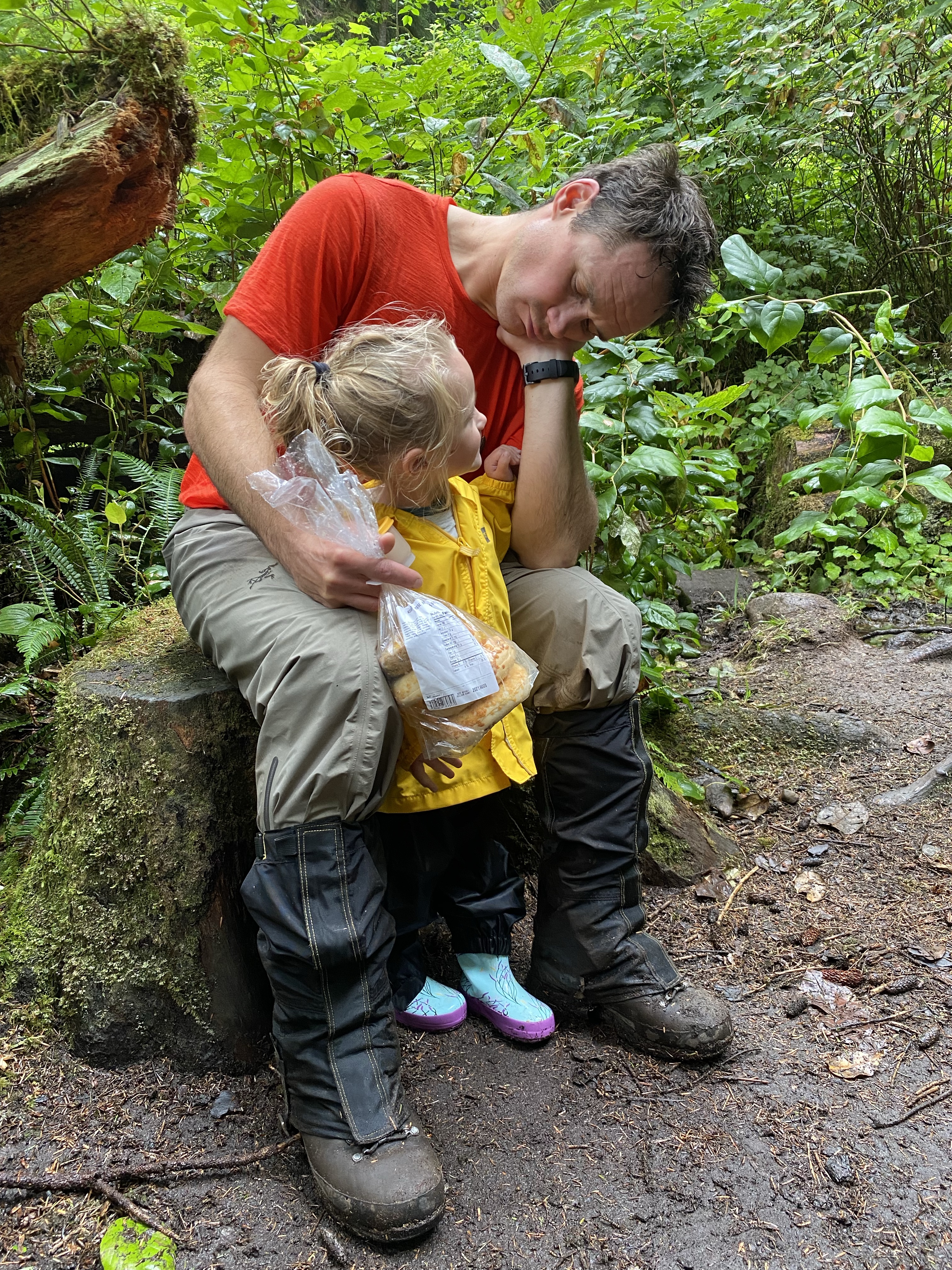
We were making good time and the girls were still keen on running so on they went. Shannon and I both were pleased to have the lightened load for as long as we could. The 5 children were all out in front holding hands and examining the forest floor. They found slugs, snails, centipedes and all sorts of plant life. We found a wide spot in the trail and stopped for a bite of lunch and a relax. Eager to make it to Sombrio Beach we were back on our feet and pushing upwards. We continued to climb and the girls continued to race ahead. At the 25 kilometre marker we met up what seemed like an old logging road and the next 1.5 kms was a gift. It was a long flat section were we could hike side by each and enjoy a conversation with one another.

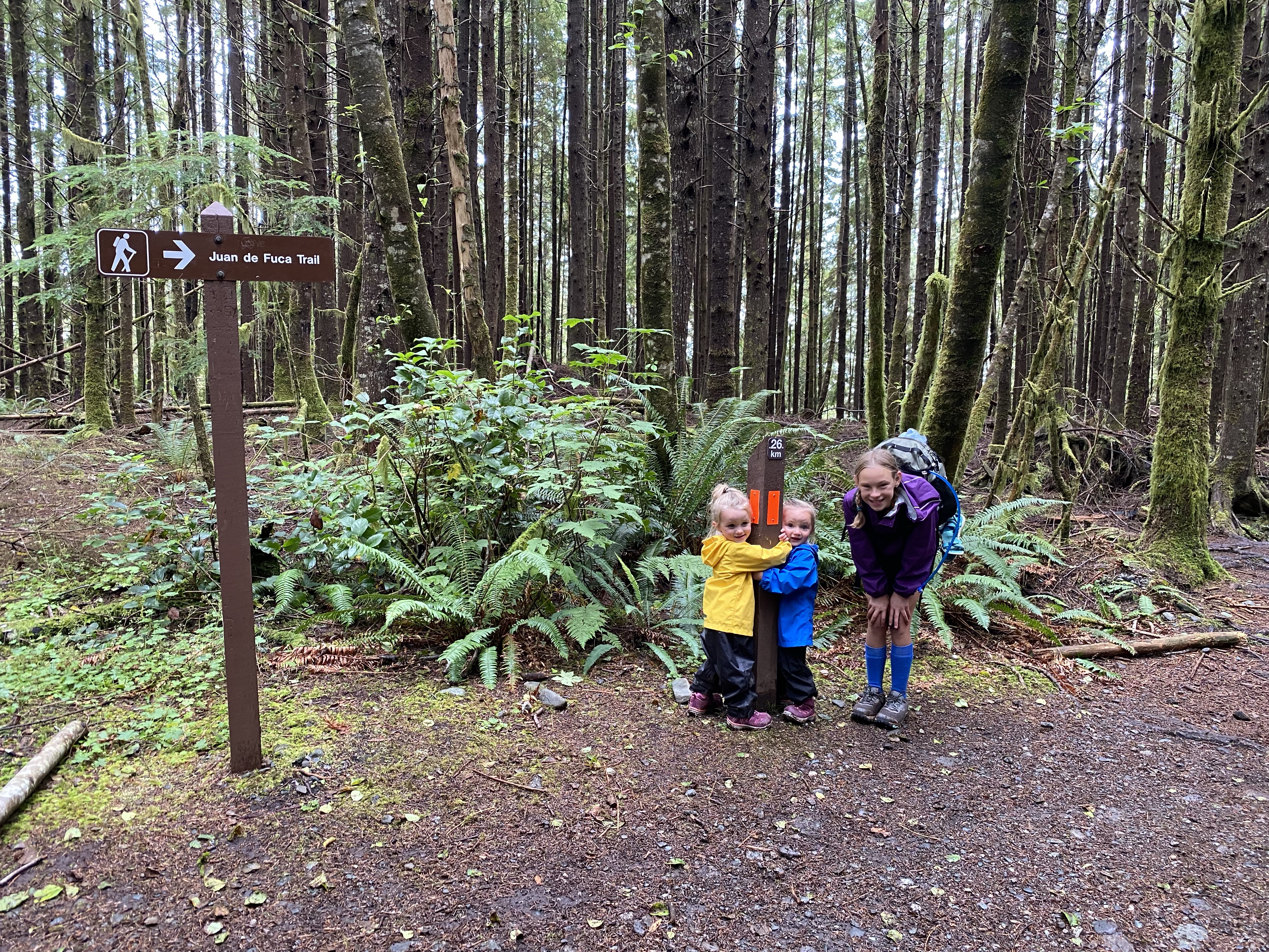
The eventually the path gets narrowed down to the traditional single track and started a steep descend. You pass a tree that you could stand inside, then the 27km marker and you are back at the waters edge at Sombrio point.


From here you can take in some of the days most amazing views as you look past more oceanside waterfalls and onto the beach where we will spend the night. It seemed like paradise. But just like the west coast style, we were not finished yet. We still had another kilometre of muddy, slippery, rooty trail to climb and crawl your way up, over and around. We were so prepared to be on the beach that this last section took an eternity. The trail eventually finishes with a 4′ drop down to the sand.


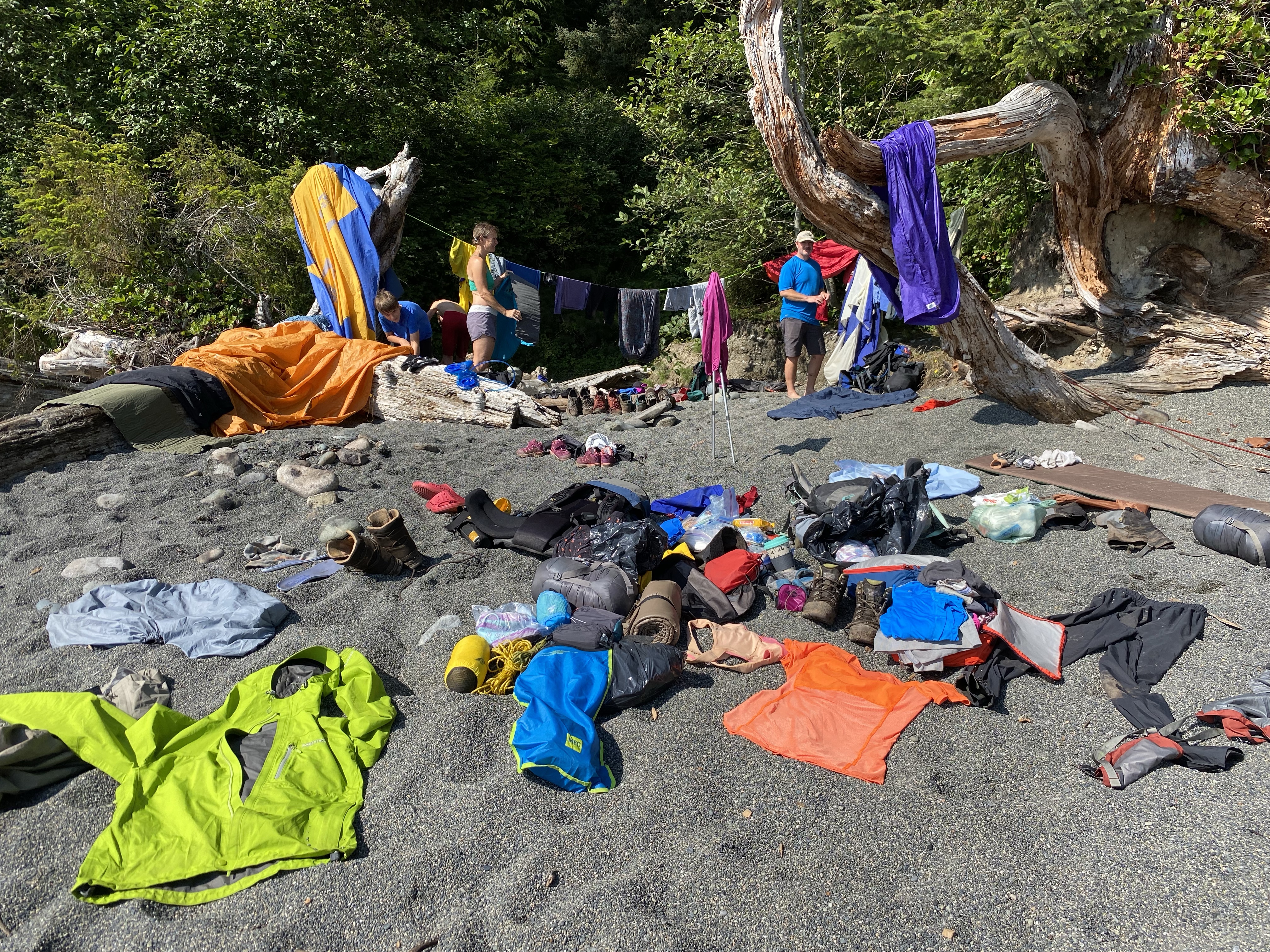
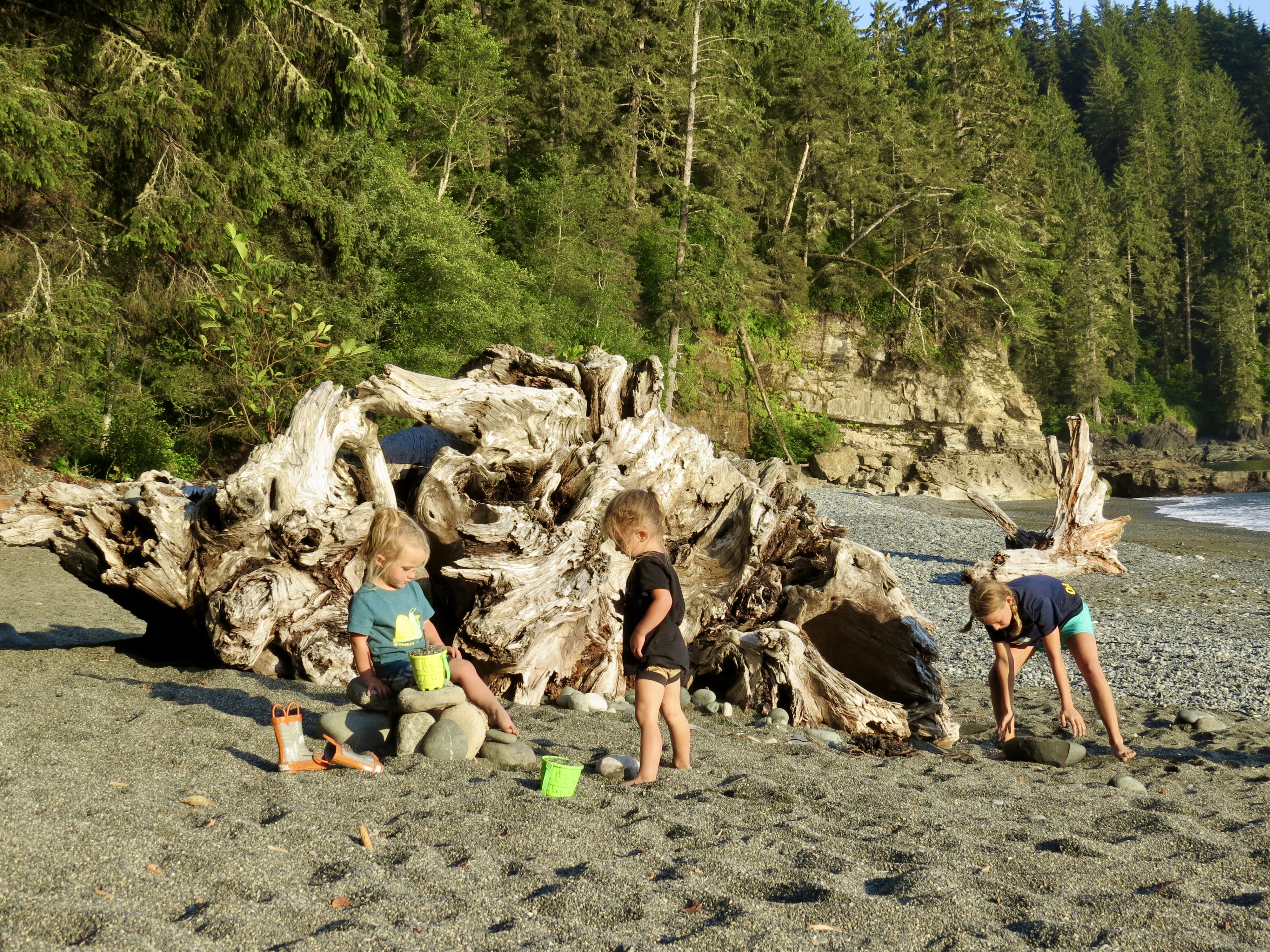
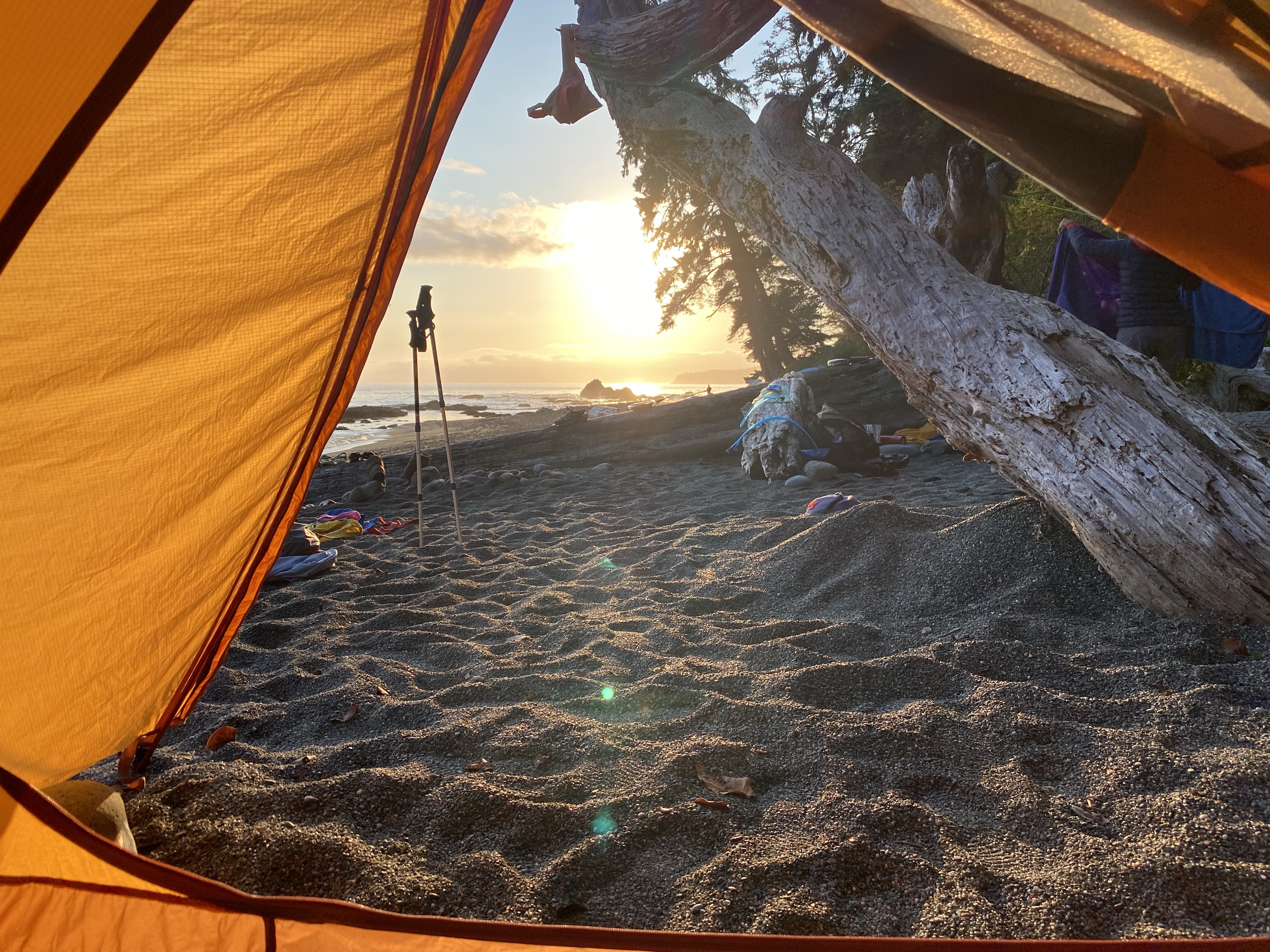
The nine of us were now in search of the perfect place to set up camp. We didn’t have to look to far. Just 50m from where the trail emerged we found a magnificent place next to a small creek that will serve us perfectly. The last kilometre was a rough go for Shannon so she had quickly pulled out her therm-a-rest sleeping pad and was in relaxation mode. And you can’t blame her. The beach was made of fine pebbles, the ocean waves were lapping at the shore and the sun was shining down like rays from heaven. This place was amazing! I continued to sort through our bags and within 10 minutes everything was pulled completely with hopes that the warm sun would have a chance to dry everything out. Even our sleeping bags were starting to feel damp, but within a few moments everything seemed to be reset back to a more pleasurable state. The littles were keen on racing around the beach and letting their imagination keep them busy. We hiked the 7kms in just under 5.5 hours including all breaks and reached the beach just before 4:00. We had loads of time to lay around and relax in the sun.

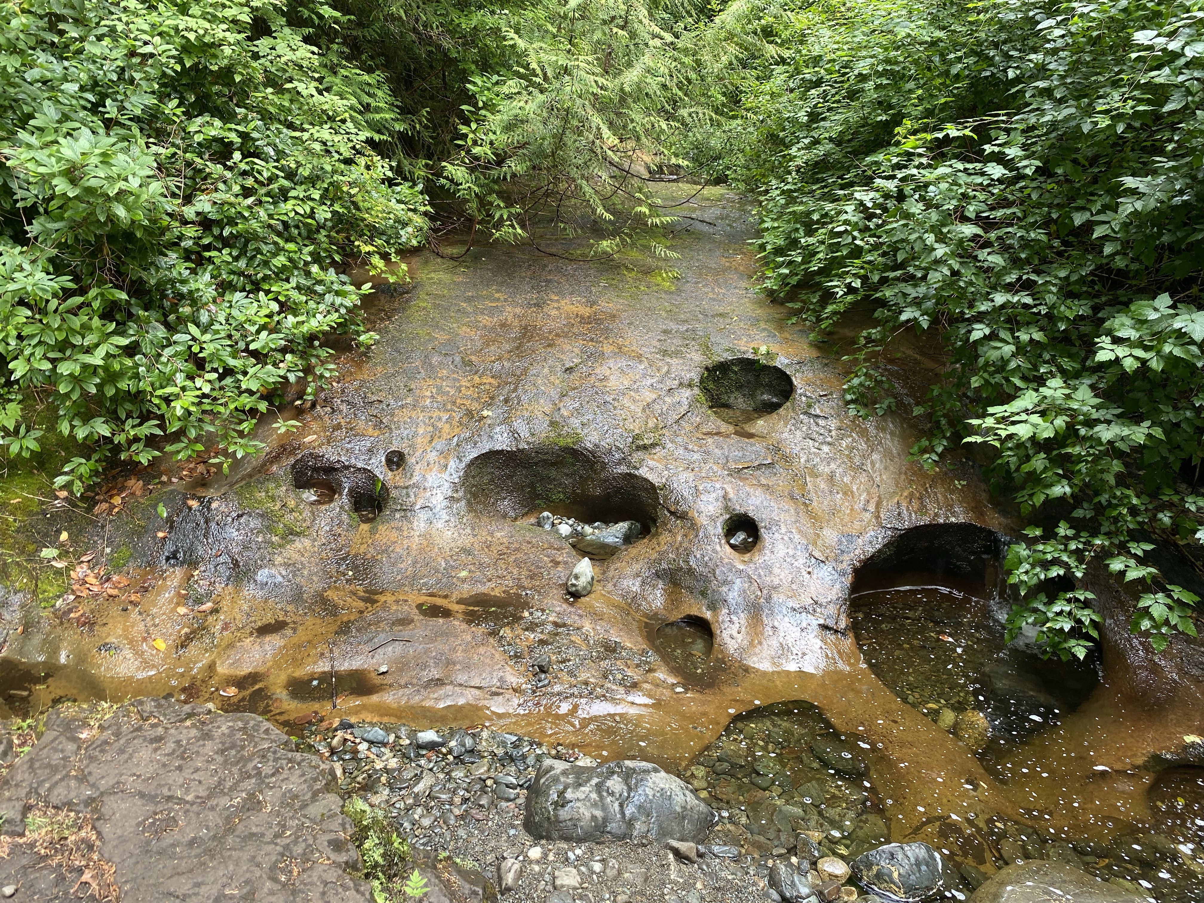
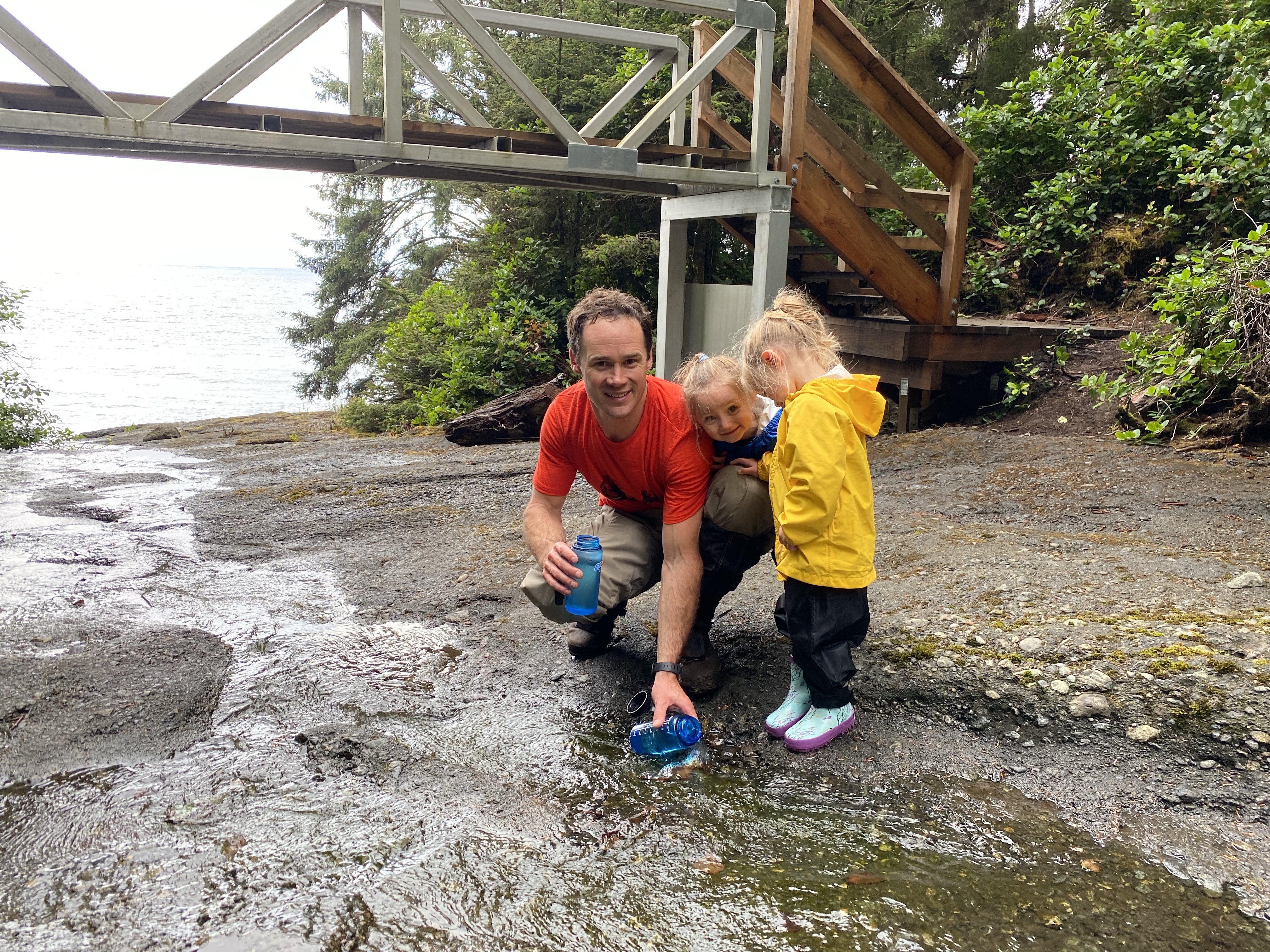
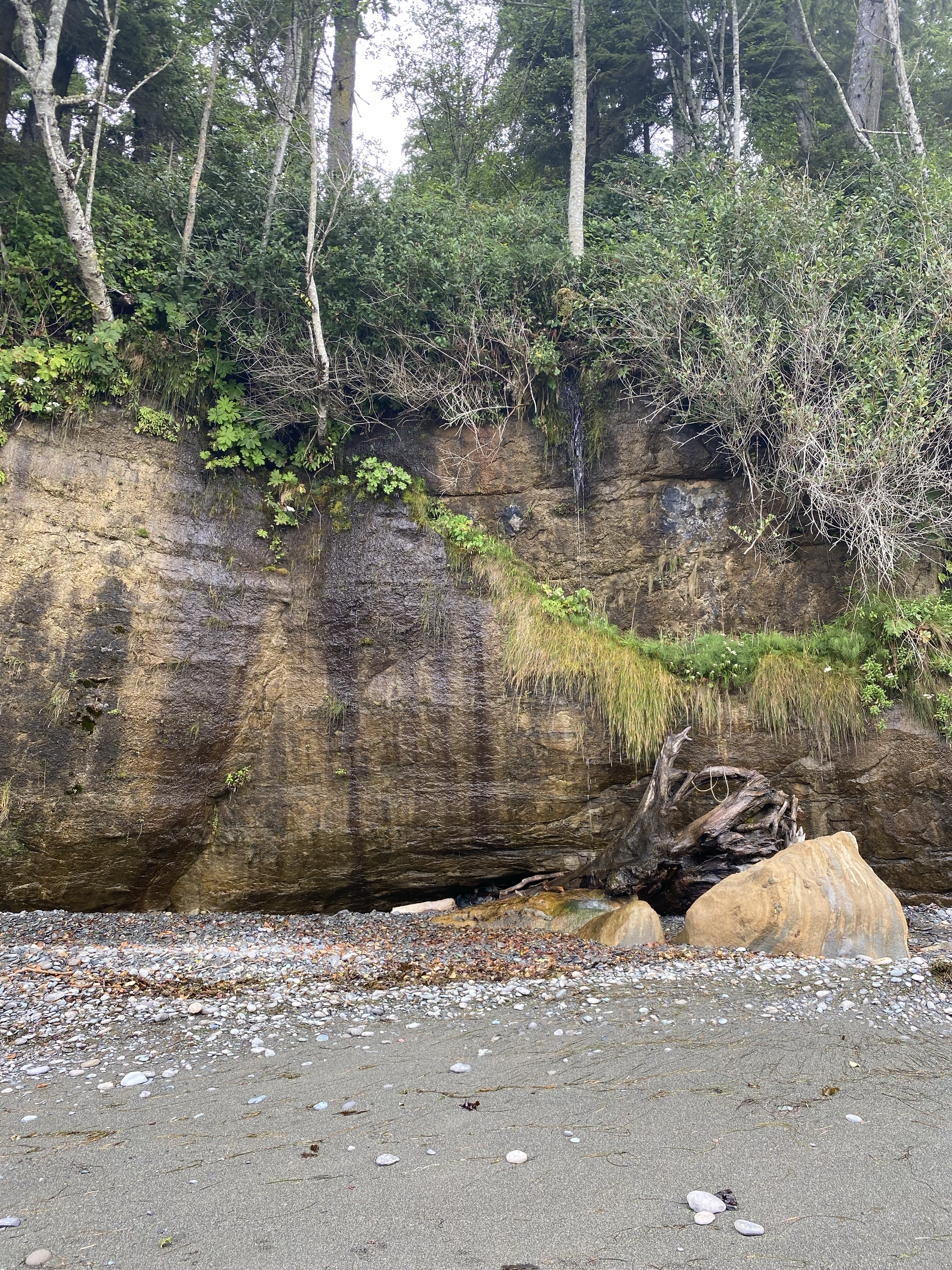
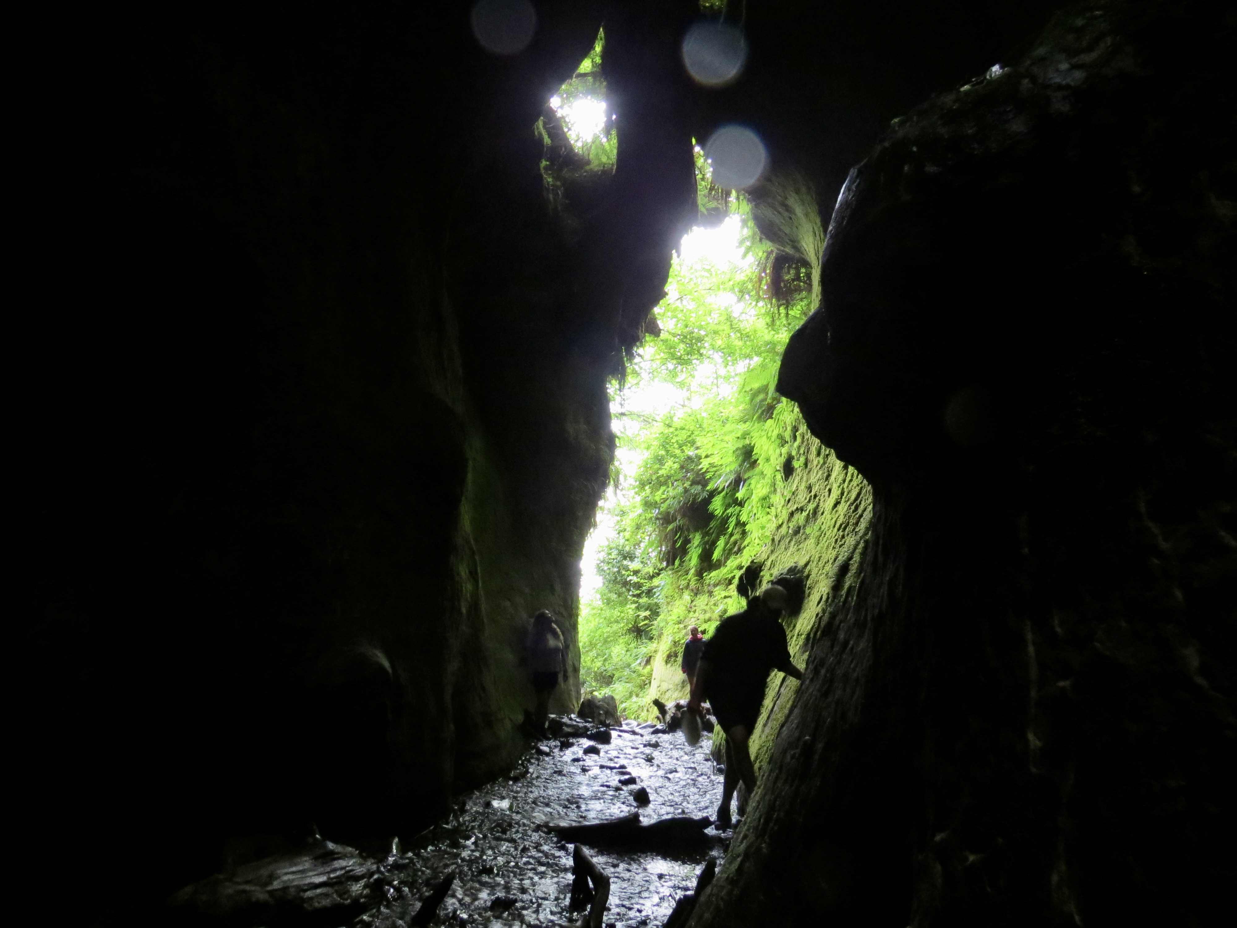
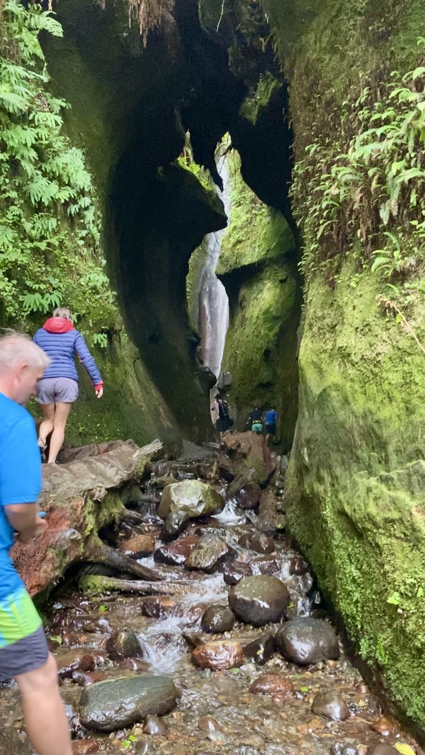
There is a main parking lot about 1km west of us so we constantly had others casually walking down to our east end of the beach but not an overwhelming amount of traffic. We heard rumours of a slot canyon waterfall and as it turns out that little creek we were camped next to was the aftermath of the cascade. With our water shoes on we all ventured our way up the narrow chasm. Turns out it is only really 50 meters or so before you get to the end of the line. The sun was shining down on parts of the towering walls overhead and illuminating the water as it plummeted down the 10 meters or so to the polished canyon floor. There were a few members of our group that decided to get soaked and hop inside. If you are thru-hiking or just here for the day, this for sure is a do not miss type of place.
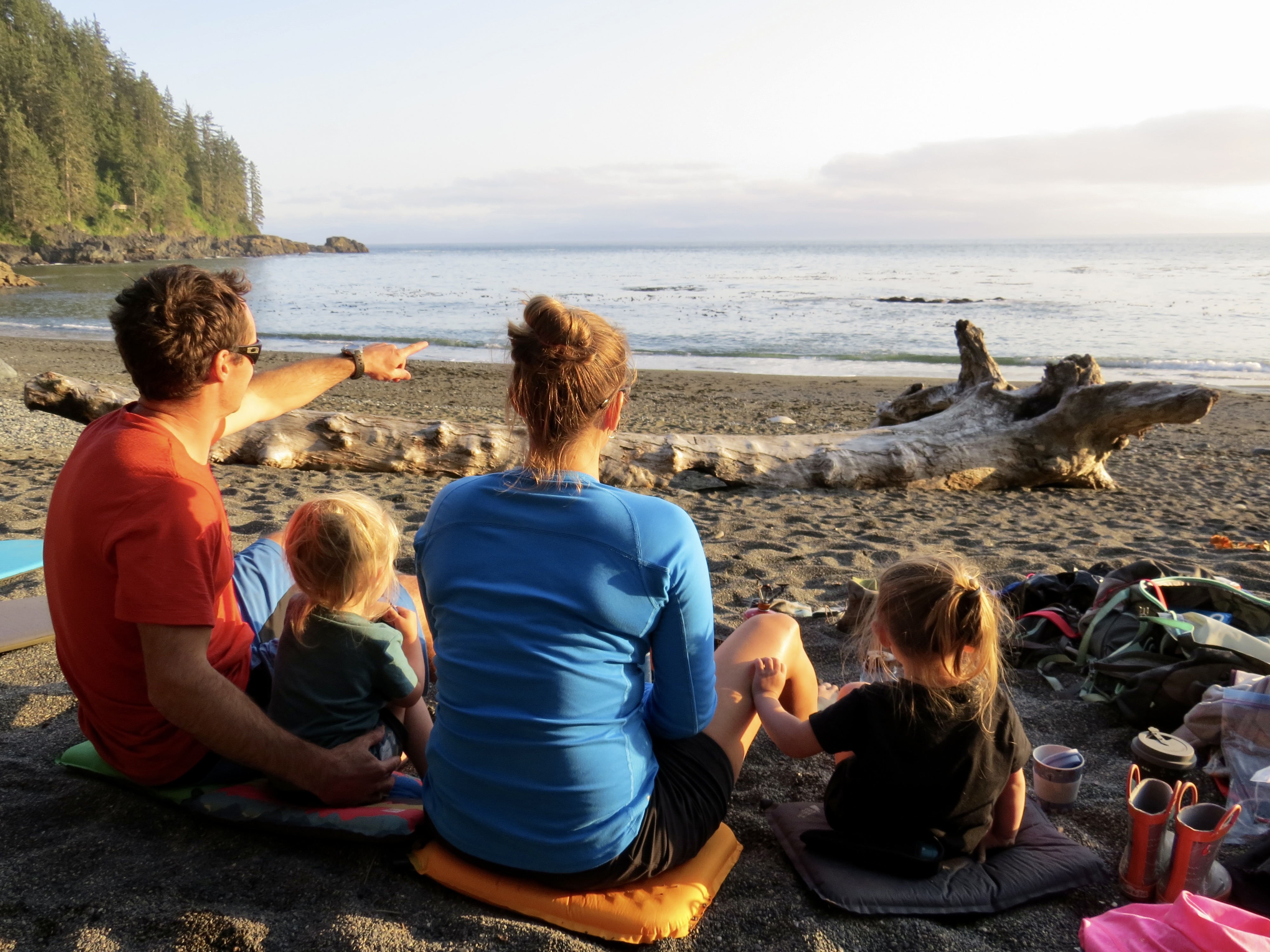
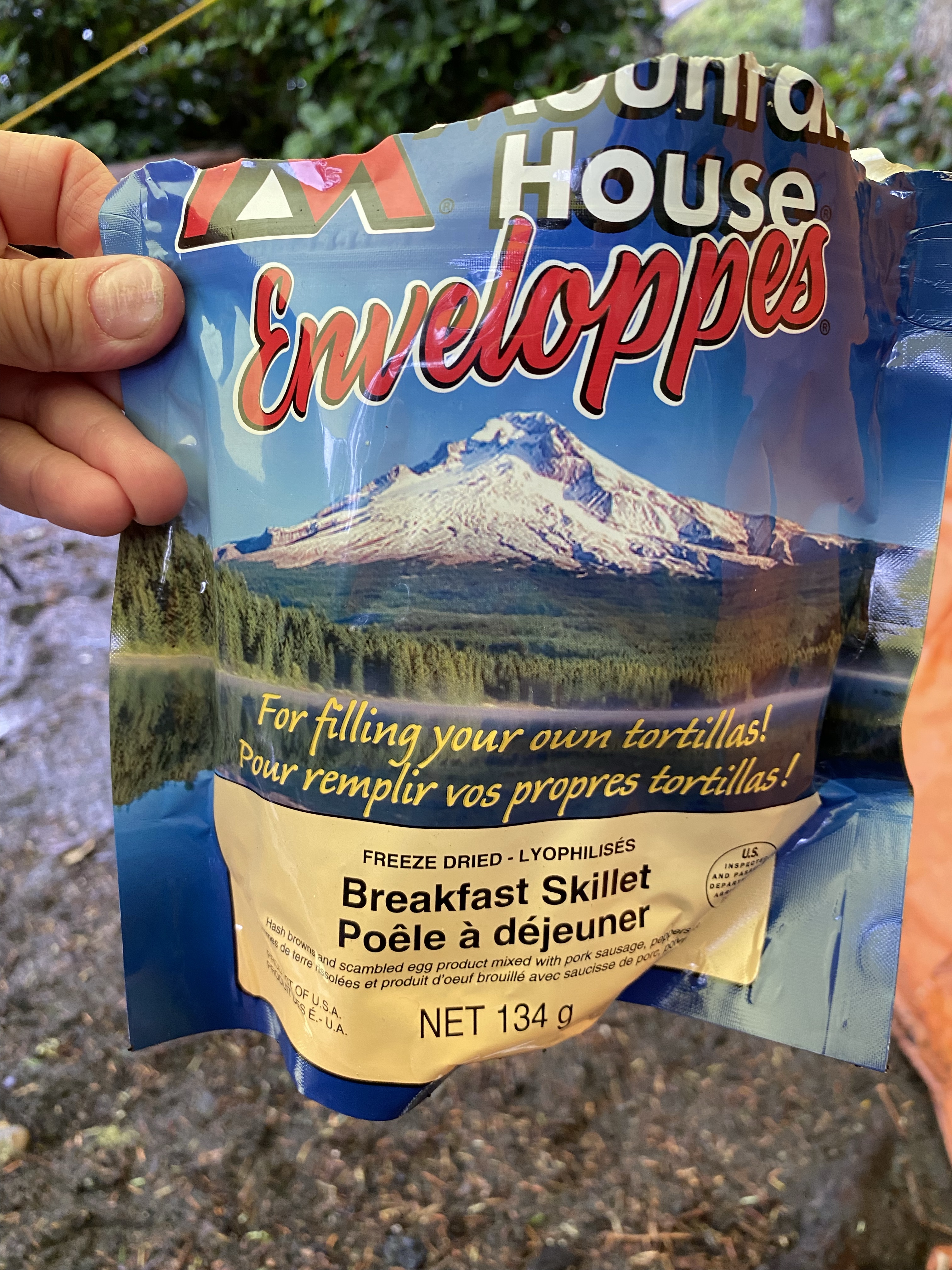
We had now started on dinner of a different flavour of dehydrated food and we all sat together and enjoyed what I had been hoping and waiting for on this trip, a breathtaking west coast sunset.

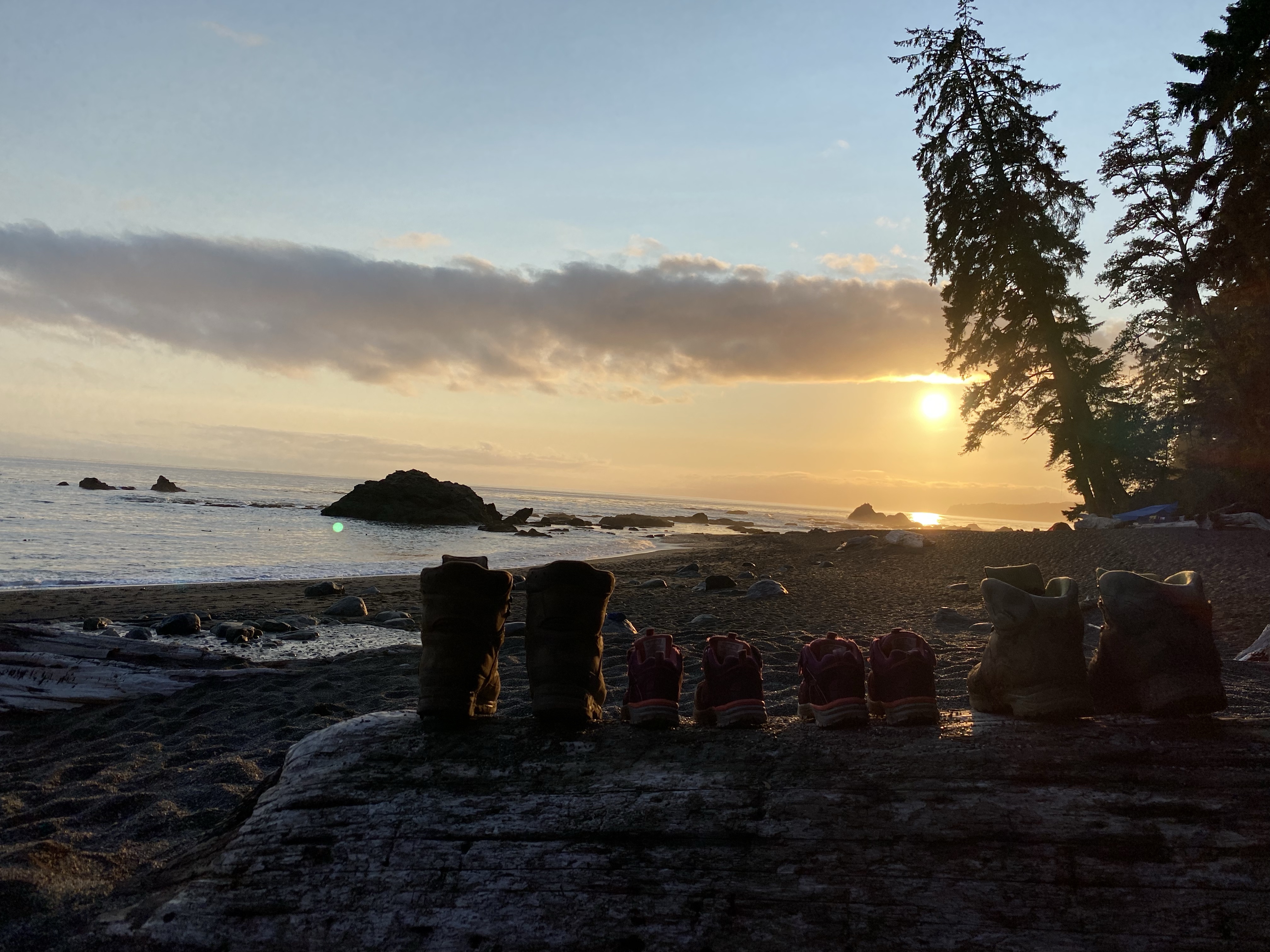
As this coastline gets an amazing amount of rain it was sure a rarity to see such a spectacle. As the sun continued to fade so did our eyelids and soon enough we were all nestled into our sleeping bags for the night. We fell asleep to the combining sounds of the creek and ocean singing in perfect harmony. Chin Beach at kilometre marker 21 to Sombrio Beach East at kilometre marker 27 has a max elevation of 170m over the 7kms.
Click here to continue with us for the remainder of the Juan de Fuca Trail!


Pingback: Juan de Fuca Marine Trail, China Beach to Bear Beach
Pingback: Juan de Fuca Marine Trail, Sombrio Beach to Botanical Gardens