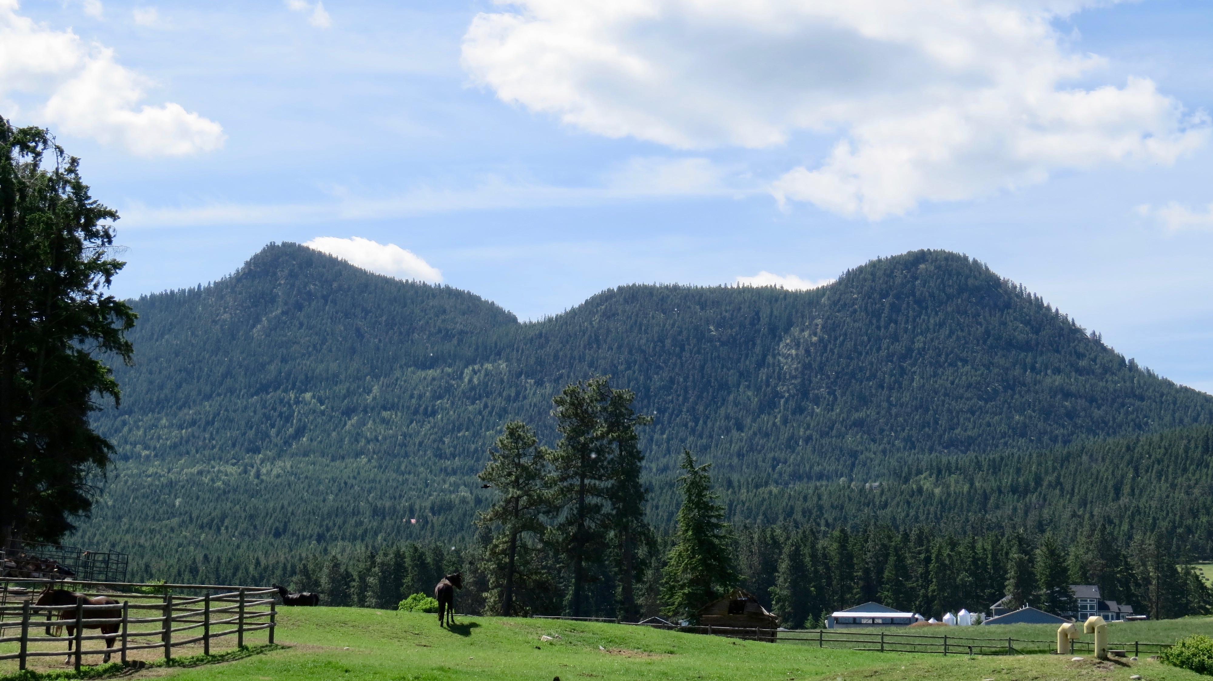
The sky was blue, sun was out and the winds were mild so another local hike was in store for us. I had been to Bluenose Mountain once before some 25 years ago so it was long over due. The mountain itself is an extinct volcano located just outside of Vernon in a small community called Lavington. With the Tacoma loaded up we made the 20 min drive on the pavement then continued 4 km up Bluenose Forest Service Road (FSR). The road takes a sharp left turn then results in a large parking lot with signs indicating the trail head. GPS Coordinates
50.191253, -119.072956.

Trailhead Sign
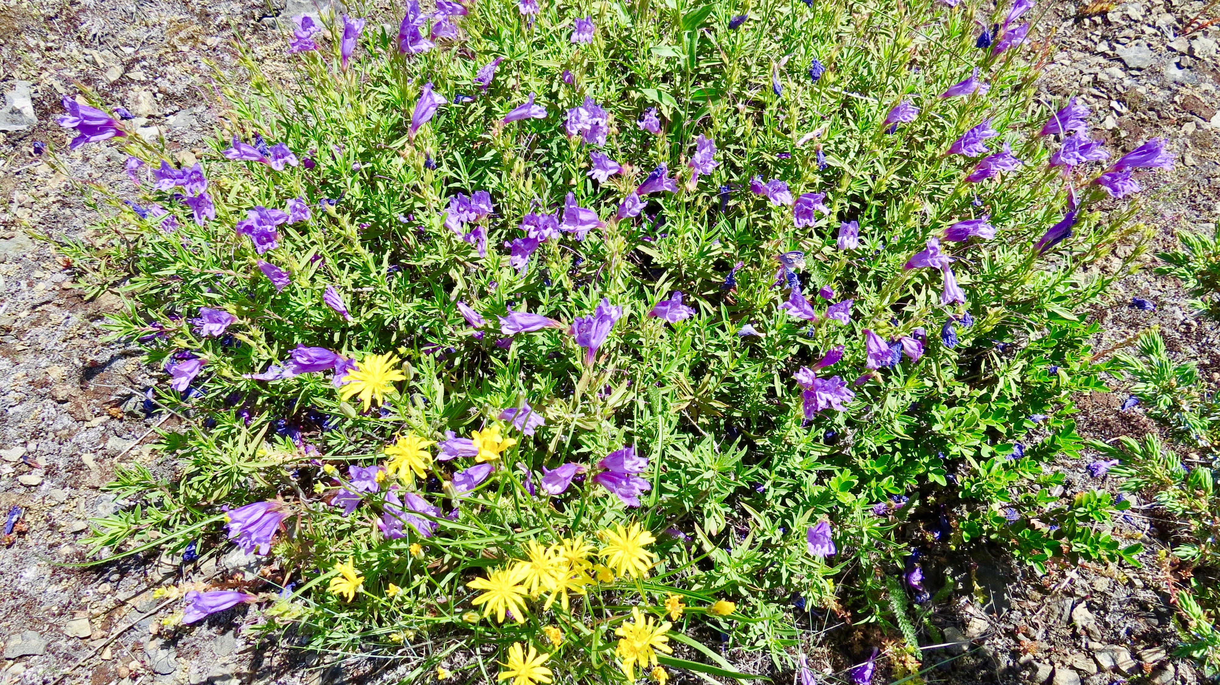
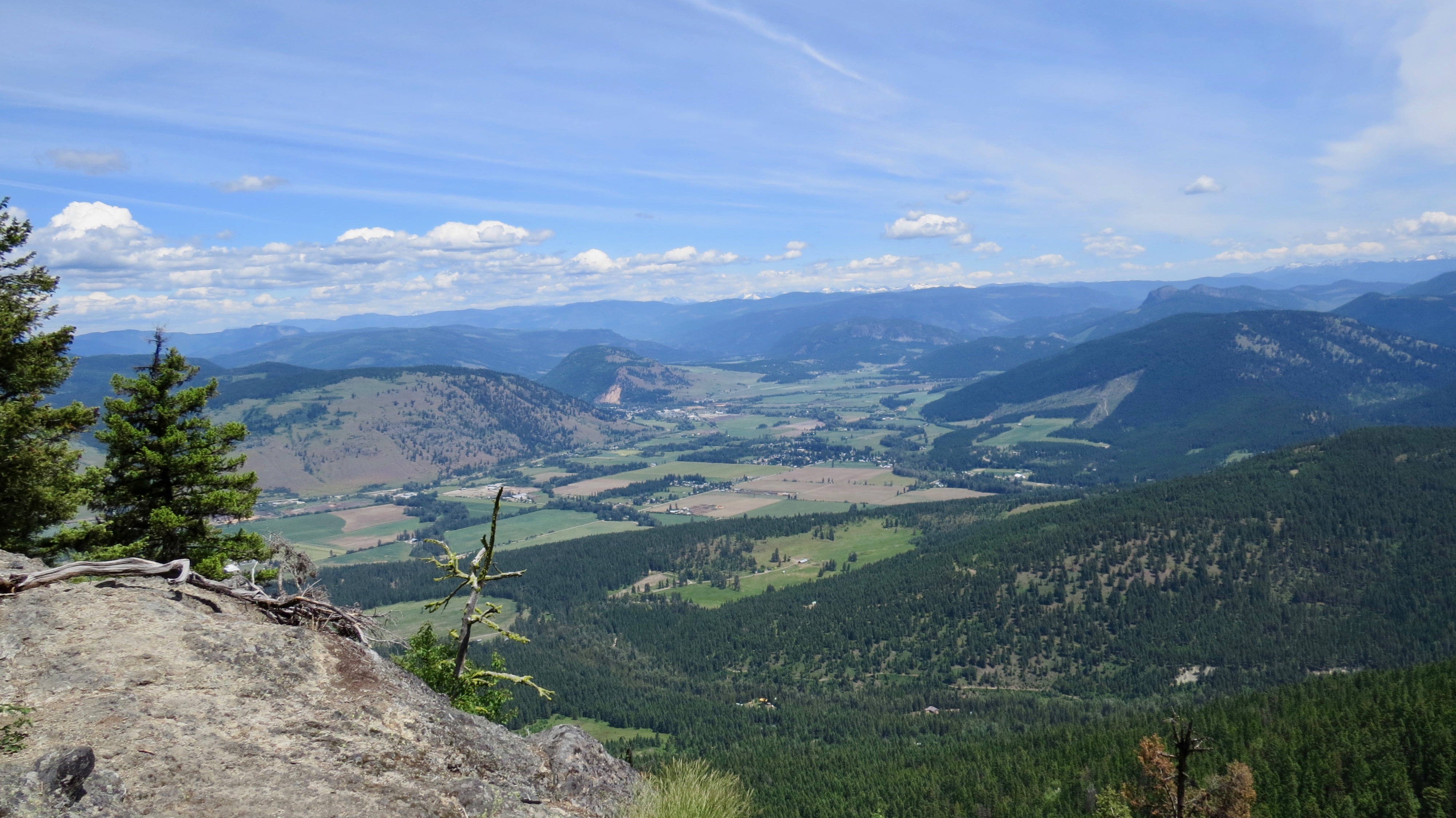
With the girls in the Onyas we hit the dirt. The hike starts fairly flat for the first 200m, then as volcanos go, climbs steeply via switchbacks. This continues that way until you reach the summit roughly 30 minutes later. You do however get the chance to stop and enjoy the wildflowers and use this as an excuse to take a breather. The footing on the trail is a bit unsure as the dry soil and steep nature results in some loose slippery sections. Once you have reached the pinnacle you can enjoy stunning views of the rural Coldstream valley to the west and the snow capped Monashee mountain range to the east. An old surveying pin can be found imbedded in the rock at the highest point on this peak.


Bluenose mountain actually consists of three similar peaks in which the second of the three mounds is located on private property and should be avoided with respect to the owners. After a brief look around we retraced our steps part way down the first bump where the trail “T”ed off to the left. We lost a bit more elevation to the saddle, then continued with the switchbacks to the top of the third peak. From here the views are basically the same as the first. The only major difference is that the summit plateau is larger and treed so you have to do a short walk to look back over the Coldstream Valley rather than twist your body the 180° like you can on the first hump. To return back to the vehicles you double back the way you came up expect there is a left hand trail that will take you to the parking lot on a secondary trail.


The round trip for us, excluding the drive, was roughly 2 hours and 45 minutes. This included a 15 minute break on the first peak and a 45 minute break for lunch on the third summit. The elevation gain to the top of just the third (highest) peak was 230m from the parking lot, and was just shy of 4km for the two peak circuit.
We have read a few write-ups about Bluenose and in my opinion they are fairly inaccurate. The trail is often described as easy and regularly states that you should just climb the Camels Hump further east in the valley instead. In my opinion this mountain deserves more credit. Compared to the Camels hump the views and the hikes are strikingly similar, maybe a bit steeper on Bluenose. However, for me the drive is the major difference. Bluenose is an easy simple and short drive that can be done in a low clearance vehicle. You can read more about our Camels Hump hike via this link here. But either way, it does not matter which hike you prefer, as long as you are getting out there that is all that matters.
Find more adventures with Restless Crusade here.

Pingback: Enderby cliffs, July 2019
Pingback: Planning a wedding in 6 weeks; it can be done – July 2019
Pingback: Bluenose Hike